Toggle navigation
LMEC Home
Exhibitions
Georeferencing
Tools for Teachers
Collections
My Favorites
Sign Up / Log In
Search
Search the map portal
Map Collection
Map Collection
Map Sets
Search
Search
Search for
Search In
All Fields
Creator
Title
Subject
Place
Search All Digital Collections
Advanced Search
509 Results
My Search
Start Over
More Like
commonwealth:mw22xt07f
Remove constraint More Like: commonwealth:mw22xt07f
Filter your Search
Place
North and Central America
509
United States
506
Suffolk (county)
403
Boston
401
Massachusetts
278
Dorchester
49
Roxbury
48
Middlesex (county)
31
more
Place
»
Topic
Real property--Massachusetts--Boston--Maps
253
Landowners--Massachusetts--Boston--Maps
169
Boston (Mass.)--Maps
143
Buildings--Massachusetts--Boston--Maps
125
City planning--Massachusetts--Boston--Maps
125
Urban renewal--Massachusetts--Boston--Maps
78
Roxbury (Boston, Mass.)--Maps
49
Dorchester (Boston, Mass.)--Maps
47
more
Topic
»
Date
Date range begin
–
Date range end
Current results range from
1798
to
2023
View distribution
Creator
Boston Redevelopment Authority
124
Bromley, George Washington
80
Bromley, Walter Scott
80
G.W. Bromley & Co.
58
Hopkins, Griffith Morgan, Jr.
27
Geo. H. Walker & Co.
23
Wadsworth, Alexander, 1806-1898
19
Lamb, George
16
more
Creator
»
Format
Maps/Atlases
508
Manuscripts
4
Drawings/Illustrations
1
Georeferenced
Yes
14
No
495
Collection
Boston and New England Maps
353
Urban Maps
348
Norman B. Leventhal Map & Education Center Collection
250
Massachusetts Real Estate Atlases
143
Boston Redevelopment Authority Collection
140
Applied Geographics, Inc. Records
2
American Revolutionary War-Era Maps
1
Available to use
No known restrictions
364
Creative Commons license
2
Search Constraints
Sort by relevance
relevance
title
date (asc)
date (desc)
Number of results to display per page
20 per page
10
per page
20
per page
50
per page
100
per page
View results as:
grid view
map view
Search Results
361.
Atlas of Winchendon town, Massachusetts
362.
Atlas of Worcester County, Massachusetts
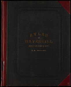
363.
City atlas of Haverhill, Massachusetts
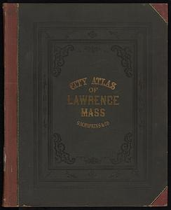
364.
City atlas of Lawrence, Massachusetts
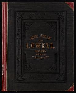
365.
City atlas of Lowell, Massachusetts
366.
City atlas of Lynn, Massachusetts : from official records, private plans and actual surveys
367.
County atlas of Hampshire, Massachusetts
368.
Insurance maps of Rockland, including Hanover, Plymouth County, Massachusetts
369.
Insurance maps of Stoneham, Middlesex Co., Massachusetts
370.
Insurance maps of Watertown, Middlesex County, Massachusetts
371.
Insurance maps of Winchester, Middlesex County, Massachusetts
372.
Maps of the street-lines of Boston : made for the Selectmen in 1819 and 1820
373.
Marlborough, Middlesex County, Massachusetts
374.
New topographical atlas of surveys Bristol County, Massachusetts
375.
New topographical atlas of surveys Plymouth County, together with town of Cohasset, Norfolk County, Massachusetts
376.
New topographical atlas of the county of Hampden, Massachusetts
377.
Official topographical atlas of Massachusetts : from astronomical, trigonometrical and various local surveys
378.
Reading, Middlesex County, Massachusetts
379.
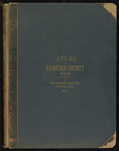
Richards standard atlas of Hampden County, Massachusetts
380.
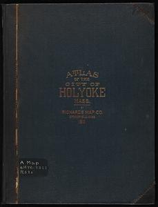
Richards standard atlas of the city of Holyoke, Massachusetts : containing ten double page maps in colors, covering the entire...
‹ Prev
Next ›
1
2
…
15
16
17
18
19
20
21
22
23
…
25
26