Toggle navigation
LMEC Home
Exhibitions
Georeferencing
Tools for Teachers
Collections
My Favorites
Sign Up / Log In
Search
Search the map portal
Map Collection
Map Collection
Map Sets
Search
Search
Search for
Search In
All Fields
Creator
Title
Subject
Place
Search All Digital Collections
Advanced Search
555 Results
My Search
Start Over
More Like
commonwealth:mk61v2653
Remove constraint More Like: commonwealth:mk61v2653
Filter your Search
Place
North and Central America
552
United States
549
Suffolk (county)
541
Boston
540
Massachusetts
241
Roxbury
54
Fens
51
South End
50
more
Place
»
Topic
City planning--Massachusetts--Boston--Maps
418
Urban renewal--Massachusetts--Boston--Maps
253
Boston (Mass.)--Maps
189
Land use--Massachusetts--Boston--Maps
102
Buildings--Massachusetts--Boston--Maps
83
Local transit--Massachusetts--Boston--Maps
59
Real property--Massachusetts--Boston--Maps
57
Fenway (Boston, Mass.)--Maps
55
more
Topic
»
Date
Date range begin
–
Date range end
Current results range from
1835
to
2020
View distribution
Creator
Boston Redevelopment Authority
372
Lufkin, Richard F. (Richard Friend)
17
Massachusetts Bay Transportation Authority
15
Boston Elevated Railway Company
13
Buck Printing Co.
10
Downtown Waterfront Corporation
10
Victor Gruen Associates
10
Boston (Mass.). Parks and Recreation Department
8
more
Creator
»
Format
Maps/Atlases
554
Drawings/Illustrations
3
Manuscripts
1
Prints
1
Georeferenced
Yes
5
No
550
Collection
Boston and New England Maps
497
Urban Maps
479
Boston Redevelopment Authority Collection
443
Norman B. Leventhal Map & Education Center Collection
168
David Judkins Weaver Papers
2
Massachusetts Real Estate Atlases
1
Available to use
No known restrictions
551
Creative Commons license
2
Search Constraints
Sort by relevance
relevance
title
date (asc)
date (desc)
Number of results to display per page
20 per page
10
per page
20
per page
50
per page
100
per page
View results as:
grid view
map view
Search Results
61.
Park Plaza urban renewal area : environmental deficiencies and blighting influences map
62.
Proposed land use plan and circulation system
63.
Shawmut Avenue
64.
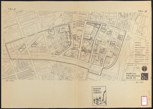
South Cove urban renewal area R-92 : disposition plan
65.
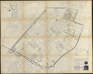
South End urban renewal area R-56 : proposed rights-of-way
66.
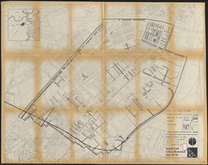
South End urban renewal area R-56 : proposed rights-of-way
67.
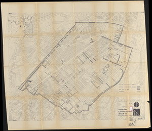
South End urban renewal area R-56 : proposed rights-of-way
68.
Atlas of the city of Boston : Roxbury : from actual surveys and official plans
69.
Atlas of the city of Boston : Roxbury : from actual surveys and official plans
70.
Atlas of the city of Boston : Roxbury : from actual surveys and official plans
71.
Atlas of the city of Boston : Roxbury : from actual surveys and official plans
72.
Atlas of the city of Boston : Roxbury, Mass. : volume three : from actual surveys and official records
73.
Fenway urban renewal area Massachusetts : disposition parcels
74.
Fenway urban renewal area Massachusetts : disposition parcels
75.
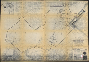
Fenway urban renewal area Massachusetts : building deficiences and proposed treatment area
76.
Fenway urban renewal area Massachusetts : property map
77.
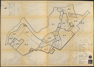
Fenway urban renewal area Massachusetts : existing and proposed zoning
78.
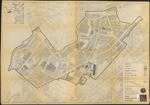
Fenway urban renewal area Massachusetts : existing land use
79.
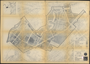
Fenway urban renewal area Massachusetts : proposed land use
80.
Fenway urban renewal area Massachusetts : disposition parcels
‹ Prev
Next ›
1
2
3
4
5
6
7
8
…
27
28