Toggle navigation
LMEC Home
Exhibitions
Georeferencing
Tools for Teachers
Collections
My Favorites
Sign Up / Log In
Search
Search the map portal
Map Collection
Map Collection
Map Sets
Search
Search
Search for
Search In
All Fields
Creator
Title
Subject
Place
Search All Digital Collections
Advanced Search
8935 Results
My Search
Start Over
More Like
commonwealth:m900rb58h
Remove constraint More Like: commonwealth:m900rb58h
Filter your Search
Place
North and Central America
6,166
United States
5,082
Massachusetts
2,137
Europe
1,396
Suffolk (county)
1,281
Boston
1,254
Canada
449
Asia
438
more
Place
»
Topic
Boston (Mass.)--Maps
753
United States--Maps
282
Real property--Massachusetts--Boston--Maps
254
City planning--Massachusetts--Boston--Maps
202
Landowners--Massachusetts--Boston--Maps
170
Massachusetts--Maps
166
Urban renewal--Massachusetts--Boston--Maps
109
New England--Maps
104
more
Topic
»
Date
Date range begin
–
Date range end
Current results range from
1482
to
2023
View distribution
Creator
United States. Hydrographic Office
595
Boston Redevelopment Authority
207
O.H. Bailey & Co
148
Des Barres, Joseph F. W. (Joseph Frederick Wallet), 1722-1824
124
United States. Post Office Dept
120
Ptolemy, 2nd cent
100
Walling, Henry Francis, 1825-1888
94
Geological Survey (U.S.)
87
more
Creator
»
Format
Maps/Atlases
8,875
Manuscripts
215
Prints
56
Books
36
Objects/Artifacts
10
Drawings/Illustrations
8
Posters
5
Georeferenced
Yes
885
No
8,050
Collection
Norman B. Leventhal Map & Education Center Collection
8,724
Boston and New England Maps
2,405
Urban Maps
2,190
Maritime Charts and Atlases
1,083
American Revolutionary War-Era Maps
637
Boston Redevelopment Authority Collection
238
Massachusetts Real Estate Atlases
38
Mapping Boston Collection
20
more
Collection
»
Available to use
No known restrictions
8,712
Creative Commons license
70
Search Constraints
Sort by relevance
relevance
title
date (asc)
date (desc)
Number of results to display per page
20 per page
10
per page
20
per page
50
per page
100
per page
View results as:
grid view
map view
Search Results
221.
Block map, vicinity of Faneuil Hall, Boston : embracing Custom House, Post Office Square, Fort Hill Square, and Chamber of...
222.
Boston
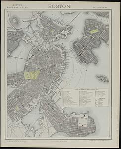
223.
Boston
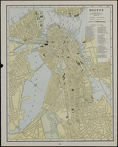
224.
Boston
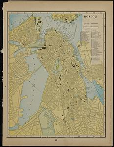
225.
Boston
226.
Boston
227.
Boston
228.
Boston
229.
Boston, 1838
230.
Boston and its suburban drives
231.
[Boston and Northwestern Junction Railroad]
232.
Boston and surroundings
233.
Boston and vicinity
234.
Boston and vicinity : 1893
235.
Boston and vicinity
236.
Boston and vicinity
237.
Boston distance to the nearest supermarket
238.
Boston Elevated Railway lines 1921
239.
Boston Elevated Railway lines operated 1925
240.
Boston elevated railway system
‹ Prev
Next ›
1
2
…
8
9
10
11
12
13
14
15
16
…
446
447


![[Boston and Northwestern Junction Railroad]](https://bpldcassets.blob.core.windows.net/derivatives/images/commonwealth:x059cc74n/image_thumbnail_300.jpg)


