Toggle navigation
LMEC Home
Exhibitions
Georeferencing
Tools for Teachers
Collections
My Favorites
Sign Up / Log In
Search
Search the map portal
Map Collection
Map Collection
Map Sets
Search
Search
Search for
Search In
All Fields
Creator
Title
Subject
Place
Search All Digital Collections
Advanced Search
8921 Results
My Search
Start Over
More Like
commonwealth:m900r8893
Remove constraint More Like: commonwealth:m900r8893
Filter your Search
Place
North and Central America
6,152
United States
5,068
Massachusetts
2,138
Europe
1,396
Suffolk (county)
1,267
Boston
1,240
Canada
449
Asia
438
more
Place
»
Topic
Boston (Mass.)--Maps
753
United States--Maps
282
Real property--Massachusetts--Boston--Maps
254
City planning--Massachusetts--Boston--Maps
187
Landowners--Massachusetts--Boston--Maps
170
Massachusetts--Maps
166
New England--Maps
104
North America--Maps--Early works to 1800
103
more
Topic
»
Date
Date range begin
–
Date range end
Current results range from
1482
to
2023
View distribution
Creator
United States. Hydrographic Office
595
Boston Redevelopment Authority
192
O.H. Bailey & Co
148
Des Barres, Joseph F. W. (Joseph Frederick Wallet), 1722-1824
124
United States. Post Office Dept
120
Ptolemy, 2nd cent
100
Walling, Henry Francis, 1825-1888
94
Geological Survey (U.S.)
87
more
Creator
»
Format
Maps/Atlases
8,861
Manuscripts
215
Prints
56
Books
36
Objects/Artifacts
10
Drawings/Illustrations
8
Posters
5
Georeferenced
Yes
885
No
8,036
Collection
Norman B. Leventhal Map & Education Center Collection
8,725
Boston and New England Maps
2,391
Urban Maps
2,175
Maritime Charts and Atlases
1,083
American Revolutionary War-Era Maps
638
Boston Redevelopment Authority Collection
223
Massachusetts Real Estate Atlases
38
Mapping Boston Collection
20
more
Collection
»
Available to use
No known restrictions
8,698
Creative Commons license
70
Search Constraints
Sort by relevance
relevance
title
date (asc)
date (desc)
Number of results to display per page
20 per page
10
per page
20
per page
50
per page
100
per page
View results as:
grid view
map view
Search Results
3921.
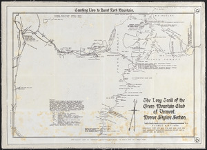
The Long Trail of the Green Mountain Club of Vermont : Monroe Skyline section: Couching Lion to Burnt Rock Mountain
3922.
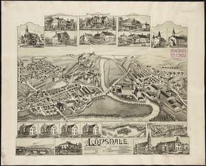
Lonsdale, Rhode Island : 1888
3923.
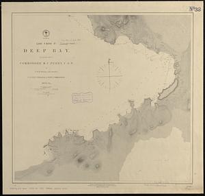
Loo Choo Id., Deep Bay
3924.
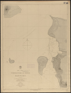
(Loo Choo) Tubootch & Suco Harbors
3925.
Lorraine
3926.
Lotharingia ducatus noua descriptio
3927.
Lotharingia Ducatus, vulgo Lorraine
3928.
Loto des 5 parties du monde : races humaines, productions, vegetales et animales [cover]
3929.
Louisiana
3930.
Louisiana : Chef Menteur sheet
3931.
Louisiana : Hahnville sheet
3932.
Louisiana : Saint Bernard sheet
3933.
Louisiana : New Orleans sheet
3934.
Louisiana : Spanish Fort sheet
3935.
Louisiana : Bonnet Carre sheet
3936.
Louisiana
3937.
Louisiana, a dream state
3938.
La Louisiana, parte settentrionalle, scoperta sotto la protettione di Luigi XIV, Ré di Francia, etc
3939.
Lovell's map of the city of Montreal : including Westmount, Outremount, Verdun, Montreal West and St. Laurent
3940.
Low Archipelago or Paumotu Group
‹ Prev
Next ›
1
2
…
193
194
195
196
197
198
199
200
201
…
446
447