Toggle navigation
LMEC Home
Exhibitions
Georeferencing
Tools for Teachers
Collections
My Favorites
Sign Up / Log In
Search
Search the map portal
Map Collection
Map Collection
Map Sets
Search
Search
Search for
Search In
All Fields
Creator
Title
Subject
Place
Search All Digital Collections
Advanced Search
8927 Results
My Search
Start Over
More Like
commonwealth:m900r861d
Remove constraint More Like: commonwealth:m900r861d
Filter your Search
Place
North and Central America
6,158
United States
5,074
Massachusetts
2,139
Europe
1,396
Suffolk (county)
1,273
Boston
1,246
Canada
449
Asia
438
more
Place
»
Topic
Boston (Mass.)--Maps
753
United States--Maps
282
Real property--Massachusetts--Boston--Maps
254
City planning--Massachusetts--Boston--Maps
192
Landowners--Massachusetts--Boston--Maps
170
Massachusetts--Maps
166
New England--Maps
104
North America--Maps--Early works to 1800
103
more
Topic
»
Date
Date range begin
–
Date range end
Current results range from
1482
to
2023
View distribution
Creator
United States. Hydrographic Office
595
Boston Redevelopment Authority
194
O.H. Bailey & Co
148
Des Barres, Joseph F. W. (Joseph Frederick Wallet), 1722-1824
124
United States. Post Office Dept
120
Ptolemy, 2nd cent
100
Walling, Henry Francis, 1825-1888
94
Geological Survey (U.S.)
87
more
Creator
»
Format
Maps/Atlases
8,867
Manuscripts
215
Prints
56
Books
36
Objects/Artifacts
10
Drawings/Illustrations
8
Posters
5
Georeferenced
Yes
885
No
8,042
Collection
Norman B. Leventhal Map & Education Center Collection
8,725
Boston and New England Maps
2,397
Urban Maps
2,181
Maritime Charts and Atlases
1,083
American Revolutionary War-Era Maps
637
Boston Redevelopment Authority Collection
229
Massachusetts Real Estate Atlases
38
Mapping Boston Collection
20
more
Collection
»
Available to use
No known restrictions
8,704
Creative Commons license
70
Search Constraints
Sort by relevance
relevance
title
date (asc)
date (desc)
Number of results to display per page
20 per page
10
per page
20
per page
50
per page
100
per page
View results as:
grid view
map view
Search Results
8541.
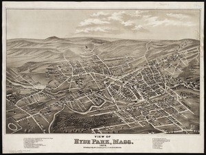
View of Hyde Park, Mass., 1879
8542.
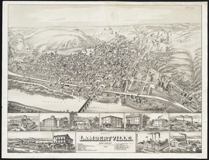
View of Lambertville, New Jersey
8543.
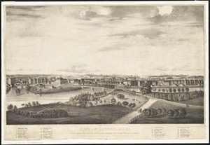
View of Lowell, Mass : taken from the house of Elisha Fuller Esq. in Dracut
8544.
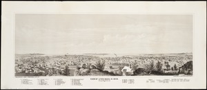
View of Lynn, Mass. in 1849 : from High Rock
8545.
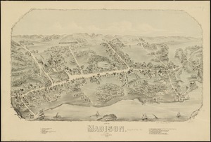
View of Madison, Conn : 1881
8546.
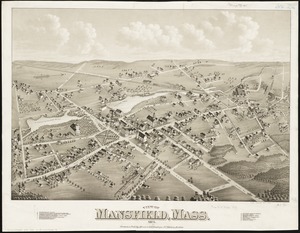
View of Mansfield, Mass : 1879
8547.
View of Marlborough, Mass : 1879
8548.
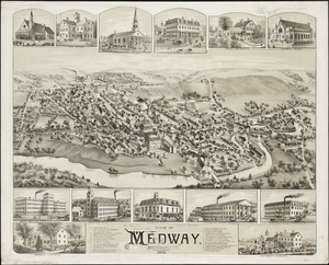
View of Medway, Massachusetts : 1887
8549.
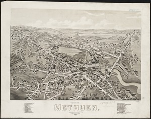
View of Methuen, Massachusetts : 1882
8550.
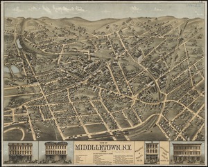
View of Middletown, N.Y : 1874
8551.
View of Milford, Conn : 1882
8552.
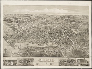
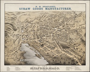
View of Milford, Mass : 1876
8553.
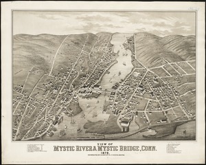
View of Mystic River & Mystic Bridge, Conn. 1879
8554.
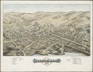
View of Natick, Mass : 1877, population about 8000
8555.
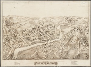
View of Naugatuck, Conn : 1877
8556.
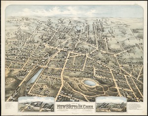
View of New Britain, Conn : 1875
8557.
View of New Canaan, Conn : 1878
8558.
View of New Milford, Conn : 1882
8559.
View of Newton, Mass : comprising Wards 1 & 7 & environs of the city of Newton
8560.
View of North Easton, Massachusetts, 1881
‹ Prev
Next ›
1
2
…
424
425
426
427
428
429
430
431
432
…
446
447