Toggle navigation
LMEC Home
Exhibitions
Georeferencing
Tools for Teachers
Collections
My Favorites
Sign Up / Log In
Search
Search the map portal
Map Collection
Map Collection
Map Sets
Search
Search
Search for
Search In
All Fields
Creator
Title
Subject
Place
Search All Digital Collections
Advanced Search
8943 Results
My Search
Start Over
More Like
commonwealth:m900r7285
Remove constraint More Like: commonwealth:m900r7285
Filter your Search
Place
North and Central America
6,174
United States
5,090
Massachusetts
2,146
Europe
1,396
Suffolk (county)
1,289
Boston
1,262
Canada
449
Asia
438
more
Place
»
Topic
Boston (Mass.)--Maps
753
United States--Maps
282
Real property--Massachusetts--Boston--Maps
254
City planning--Massachusetts--Boston--Maps
209
Landowners--Massachusetts--Boston--Maps
170
Massachusetts--Maps
166
Urban renewal--Massachusetts--Boston--Maps
111
New England--Maps
104
more
Topic
»
Date
Date range begin
–
Date range end
Current results range from
1482
to
2023
View distribution
Creator
United States. Hydrographic Office
595
Boston Redevelopment Authority
209
O.H. Bailey & Co
148
Des Barres, Joseph F. W. (Joseph Frederick Wallet), 1722-1824
124
United States. Post Office Dept
120
Ptolemy, 2nd cent
100
Walling, Henry Francis, 1825-1888
94
Geological Survey (U.S.)
87
more
Creator
»
Format
Maps/Atlases
8,883
Manuscripts
215
Prints
56
Books
36
Objects/Artifacts
10
Drawings/Illustrations
8
Posters
5
Georeferenced
Yes
885
No
8,058
Collection
Norman B. Leventhal Map & Education Center Collection
8,725
Boston and New England Maps
2,413
Urban Maps
2,197
Maritime Charts and Atlases
1,083
American Revolutionary War-Era Maps
638
Boston Redevelopment Authority Collection
245
Massachusetts Real Estate Atlases
38
Mapping Boston Collection
20
more
Collection
»
Available to use
No known restrictions
8,720
Creative Commons license
70
Search Constraints
Sort by relevance
relevance
title
date (asc)
date (desc)
Number of results to display per page
20 per page
10
per page
20
per page
50
per page
100
per page
View results as:
grid view
map view
Search Results
1301.
Atlas of Springfield City, Massachusetts
1302.
Atlas of Taunton City, Massachusetts
1303.
Atlas of the city of Beverly, Essex County, Massachusetts
1304.
Atlas of the city of Beverly, Essex County, Massachusetts
1305.
Atlas of the city of Cambridge, Massachusetts : from actual surveys and official plans
1306.
Atlas of the city of Cambridge, Massachusetts : from actual surveys and official plans
1307.
Atlas of the city of Cambridge, Massachusetts : from actual surveys and official plans
1308.
Atlas of the city of Cambridge, Massachusetts : from official records, private plan and actual surveys
1309.
Atlas of the city of Cambridge, Massachusetts : from actual surveys and official plans
1310.
Atlas of the city of Cambridge, Middlesex Co., Massachusetts
1311.
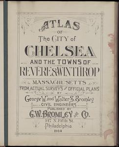
Atlas of the city of Chelsea and the towns of Revere & Winthrop, Massachusetts : from actual surveys and official plans
1312.
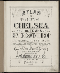
Atlas of the city of Chelsea and the towns of Revere & Winthrop, Massachusetts : from actual surveys and official plans
1313.
Atlas of the city of Chelsea and the towns of Revere and Winthrop : from actual surveys and official plans
1314.
Atlas of the city of Lawrence and the towns of Methuen, Andover and North Andover, Massachusetts
1315.
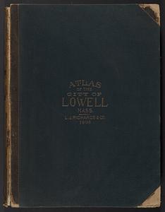
Atlas of the City of Lowell, Massachusetts : based upon and carefully compiled from the triangulation surveys, and maps in the...
1316.
Atlas of the city of Lynn, Massachusetts : including, also, the towns of Swampscott and Saugus : based upon, and carefully...
1317.
Atlas of the city of New Bedford, Massachusetts : based on plans in the office of the city engineer
1318.
Atlas of the city of Newton, Massachusetts : from actual surveys and official plans
1319.
Atlas of the city of Newton, Massachusetts : from actual surveys and official plans
1320.
Atlas of the city of Newton, Massachusetts
‹ Prev
Next ›
1
2
…
62
63
64
65
66
67
68
69
70
…
447
448