Toggle navigation
LMEC Home
Exhibitions
Georeferencing
Tools for Teachers
Collections
My Favorites
Sign Up / Log In
Search
Search the map portal
Map Collection
Map Collection
Map Sets
Search
Search
Search for
Search In
All Fields
Creator
Title
Subject
Place
Search All Digital Collections
Advanced Search
8871 Results
My Search
Start Over
More Like
commonwealth:js956j60j
Remove constraint More Like: commonwealth:js956j60j
Filter your Search
Place
North and Central America
6,102
United States
5,018
Massachusetts
2,127
Europe
1,396
Suffolk (county)
1,217
Boston
1,190
Canada
449
Asia
438
more
Place
»
Topic
Boston (Mass.)--Maps
752
United States--Maps
282
Real property--Massachusetts--Boston--Maps
195
Massachusetts--Maps
166
City planning--Massachusetts--Boston--Maps
163
Landowners--Massachusetts--Boston--Maps
142
New England--Maps
104
North America--Maps--Early works to 1800
103
more
Topic
»
Date
Date range begin
–
Date range end
Current results range from
1482
to
2023
View distribution
Creator
United States. Hydrographic Office
595
Boston Redevelopment Authority
166
O.H. Bailey & Co
148
Des Barres, Joseph F. W. (Joseph Frederick Wallet), 1722-1824
124
United States. Post Office Dept
120
Ptolemy, 2nd cent
100
Walling, Henry Francis, 1825-1888
94
Geological Survey (U.S.)
87
more
Creator
»
Format
Maps/Atlases
8,811
Manuscripts
215
Prints
56
Books
36
Objects/Artifacts
10
Drawings/Illustrations
8
Posters
5
Georeferenced
Yes
885
No
7,986
Collection
Norman B. Leventhal Map & Education Center Collection
8,723
Boston and New England Maps
2,368
Urban Maps
2,152
Maritime Charts and Atlases
1,083
American Revolutionary War-Era Maps
638
Boston Redevelopment Authority Collection
201
Mapping Boston Collection
20
Massachusetts Real Estate Atlases
12
more
Collection
»
Available to use
No known restrictions
8,674
Creative Commons license
70
Search Constraints
Sort by relevance
relevance
title
date (asc)
date (desc)
Number of results to display per page
20 per page
10
per page
20
per page
50
per page
100
per page
View results as:
grid view
map view
Search Results
2561.
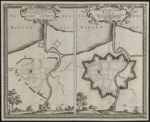
Delineatio oppidi Köeg ante quam novis operibus muniretur anno 1659 ; delineatio geometrica oppidi Köeg eo statu, quo post...
2562.
Delineatio Pompæ qua Ser. Sueciæ Rex a Ser. Daniæ Rege exceptus et in arcem Fridericiburgum deductus fuit. die 3 Martij an....
2563.
Delineatio schenographica reg. metropolis Danor: et munitae urbis Hafniae, quam ser: Sueonum Rex. Carolus Gustavus. magno...
2564.
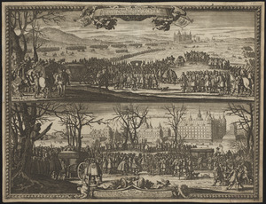
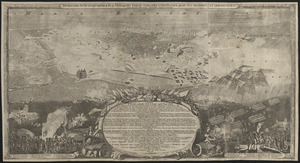
Delineatio schenographica urbis Thoruniensis in Prussia, exhibens ejusdem obsidionem primam paulo remotius factam a rege...
2565.
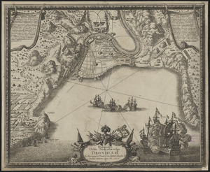
Delineatio urbis Nidrosiae vulgo, Dronheem in Norvegia, à Danis d. 28. Septem. obsessae et 11. Decemb. deditione capta an. 1658
2566.
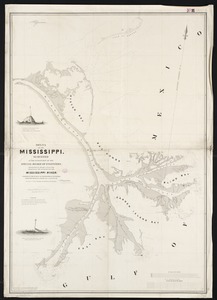
Delta of the Mississippi : surveyed at the suggestion of the Special Board of Engineers, appointed to devise a plan for...
2567.
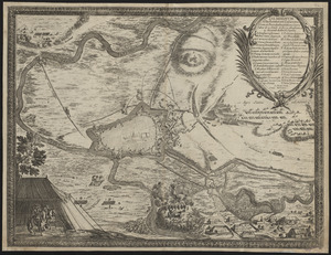
Demminvm a fœderatum Casareanorum, et Brandeburgentium exercitibus d. 15 Octob. A. 1659 obseßum et 4. Nouemb. deditione captum
2568.
Denmark
2569.
Density of population, 1790
2570.
Density of population, 1800
2571.
Density of population, 1810
2572.
Density of population, 1820
2573.
Density of population, 1830
2574.
Density of population, 1840
2575.
Density of population, 1850
2576.
Density of population, 1860
2577.
Density of population, 1870
2578.
Density of population, 1880
2579.
Density of population, 1890
2580.
Density of population, 1900
‹ Prev
Next ›
1
2
…
125
126
127
128
129
130
131
132
133
…
443
444
![Delineatio schenographica urbis Thoruniensis in Prussia, exhibens ejusdem obsidionem primam paulo remotius factam a rege poloniae ejus[que]](https://bpldcassets.blob.core.windows.net/derivatives/images/commonwealth:ht2501874/image_thumbnail_300.jpg)