Toggle navigation
LMEC Home
Exhibitions
Georeferencing
Tools for Teachers
Collections
My Favorites
Sign Up / Log In
Search
Search the map portal
Map Collection
Map Collection
Map Sets
Search
Search
Search for
Search In
All Fields
Creator
Title
Subject
Place
Search All Digital Collections
Advanced Search
8936 Results
My Search
Start Over
More Like
commonwealth:ht250316k
Remove constraint More Like: commonwealth:ht250316k
Filter your Search
Place
North and Central America
6,167
United States
5,083
Massachusetts
2,166
Europe
1,396
Suffolk (county)
1,282
Boston
1,255
Canada
449
Asia
438
more
Place
»
Topic
Boston (Mass.)--Maps
752
United States--Maps
282
City planning--Massachusetts--Boston--Maps
221
Real property--Massachusetts--Boston--Maps
207
Massachusetts--Maps
166
Landowners--Massachusetts--Boston--Maps
146
Urban renewal--Massachusetts--Boston--Maps
138
New England--Maps
104
more
Topic
»
Date
Date range begin
–
Date range end
Current results range from
1482
to
2023
View distribution
Creator
United States. Hydrographic Office
595
Boston Redevelopment Authority
224
O.H. Bailey & Co
148
Des Barres, Joseph F. W. (Joseph Frederick Wallet), 1722-1824
124
United States. Post Office Dept
120
Ptolemy, 2nd cent
100
Walling, Henry Francis, 1825-1888
94
Geological Survey (U.S.)
87
more
Creator
»
Format
Maps/Atlases
8,875
Manuscripts
215
Prints
56
Books
36
Objects/Artifacts
10
Drawings/Illustrations
9
Posters
5
Georeferenced
Yes
885
No
8,051
Collection
Norman B. Leventhal Map & Education Center Collection
8,725
Boston and New England Maps
2,425
Urban Maps
2,207
Maritime Charts and Atlases
1,083
American Revolutionary War-Era Maps
642
Boston Redevelopment Authority Collection
257
Mapping Boston Collection
21
Massachusetts Real Estate Atlases
16
more
Collection
»
Available to use
No known restrictions
8,731
Creative Commons license
71
Search Constraints
Sort by relevance
relevance
title
date (asc)
date (desc)
Number of results to display per page
20 per page
10
per page
20
per page
50
per page
100
per page
View results as:
grid view
map view
Search Results
81.
Atlas of the city of Boston : Boston proper and Back Bay : from actual surveys and official plans
82.
Atlas of the city of Boston : Boston proper and Back Bay : from actual surveys and official plans
83.
Atlas of the city of Boston : Boston proper and Back Bay : from actual surveys and official plans
84.
Atlas of the city of Boston : Boston proper and Back Bay : from actual surveys and official plans
85.
Atlas of the city of Boston : city proper : volume 1 : from actual surveys and official records
86.
Atlas of the city of Boston : city proper, volume one : from actual surveys and official plans
87.
Atlas of the city of Boston : city proper, volume two : from actual surveys and official plans
88.
Atlas of the county of Suffolk, Massachusetts : vol. 1st including Boston proper : from actual surveys and official records
89.
Ausicht von Boston : nach der natur aufgenommen
90.
Bartlett's illustrated map of Boston, or, Stranger's guide showing the public buildings, places of amusement & its'...
91.
Block map, vicinity of Faneuil Hall, Boston : embracing Custom House, Post Office Square, Fort Hill Square, and Chamber of...
92.
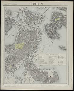
Boston
93.
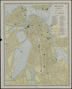
Boston
94.
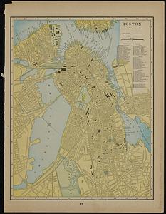
Boston
95.
Boston
96.
Boston
97.
Boston
98.
Boston
99.
Boston, 1838
100.
Boston and its suburban drives
‹ Prev
Next ›
1
2
3
4
5
6
7
8
9
…
446
447