Toggle navigation
LMEC Home
Exhibitions
Georeferencing
Tools for Teachers
Collections
My Favorites
Sign Up / Log In
Search
Search the map portal
Map Collection
Map Collection
Map Sets
Search
Search
Search for
Search In
All Fields
Creator
Title
Subject
Place
Search All Digital Collections
Advanced Search
8861 Results
My Search
Start Over
More Like
commonwealth:h989r699w
Remove constraint More Like: commonwealth:h989r699w
Filter your Search
Place
North and Central America
6,092
United States
5,008
Massachusetts
2,127
Europe
1,396
Suffolk (county)
1,207
Boston
1,180
Canada
449
Asia
438
more
Place
»
Topic
Boston (Mass.)--Maps
752
United States--Maps
282
Real property--Massachusetts--Boston--Maps
195
Massachusetts--Maps
166
City planning--Massachusetts--Boston--Maps
157
Landowners--Massachusetts--Boston--Maps
142
New England--Maps
104
North America--Maps--Early works to 1800
103
more
Topic
»
Date
Date range begin
–
Date range end
Current results range from
1482
to
2023
View distribution
Creator
United States. Hydrographic Office
595
Boston Redevelopment Authority
162
O.H. Bailey & Co
148
Des Barres, Joseph F. W. (Joseph Frederick Wallet), 1722-1824
124
United States. Post Office Dept
120
Ptolemy, 2nd cent
100
Walling, Henry Francis, 1825-1888
94
Geological Survey (U.S.)
87
more
Creator
»
Format
Maps/Atlases
8,801
Manuscripts
215
Prints
56
Books
36
Objects/Artifacts
10
Drawings/Illustrations
8
Posters
5
Georeferenced
Yes
884
No
7,977
Collection
Norman B. Leventhal Map & Education Center Collection
8,723
Boston and New England Maps
2,358
Urban Maps
2,142
Maritime Charts and Atlases
1,083
American Revolutionary War-Era Maps
638
Boston Redevelopment Authority Collection
191
Mapping Boston Collection
20
Massachusetts Real Estate Atlases
12
more
Collection
»
Available to use
No known restrictions
8,664
Creative Commons license
70
Search Constraints
Sort by relevance
relevance
title
date (asc)
date (desc)
Number of results to display per page
20 per page
10
per page
20
per page
50
per page
100
per page
View results as:
grid view
map view
Search Results
221.
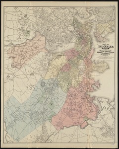
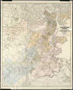
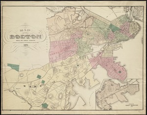
Map of Boston, for 1881
222.
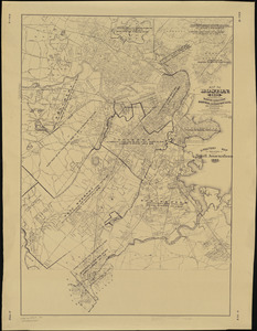
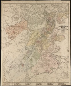
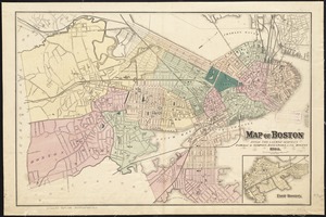
Map of Boston, for 1881
223.
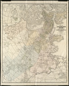
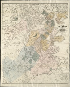
Map of Boston, for 1882
224.
Map of Boston, for 1883
225.
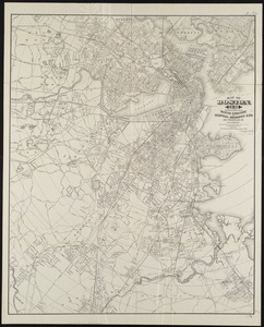
Map of Boston, for 1883
226.
Map of Boston, for 1884
227.
Map of Boston, for 1885
228.
Map of Boston, for 1886
229.
Map of Boston, for 1887
230.
Map of Boston, for 1888
231.
Map of Boston, for 1889
232.
Map of Boston from the latest surveys
233.
Map of Boston from the latest surveys
234.
Map of Boston from the latest surveys
235.
Map of Boston from the latest surveys
236.
Map of Boston from the latest surveys
237.
Map of Boston from the latest surveys
238.
Map of Boston Harbor
239.
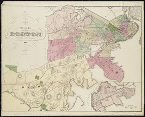
Map of Boston in the state of Massachusetts
240.
Map of Boston postal stations
‹ Prev
Next ›
1
2
…
8
9
10
11
12
13
14
15
16
…
443
444