Search Constraints
Search Results
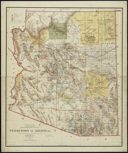
7901. Territory of Arizona
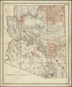
7902. Territory of Arizona
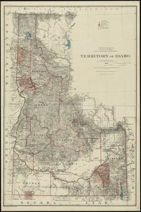
7903. Territory of Idaho
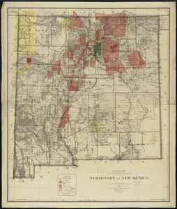
7904. Territory of New Mexico

7905. Territory of New Mexico

7906. Territory of Utah

7907. Territory of Utah

7908. Territory of Wyoming


7911. Tertia Africae tabula

7912. Tertia Asiae tabula


![A Texan's map of the United States [of Texas]](https://bpldcassets.blob.core.windows.net/derivatives/images/commonwealth:fn107c388/image_thumbnail_300.jpg)

