Toggle navigation
LMEC Home
Exhibitions
Georeferencing
Tools for Teachers
Collections
My Favorites
Sign Up / Log In
Search
Search the map portal
Map Collection
Map Collection
Map Sets
Search
Search
Search for
Search In
All Fields
Creator
Title
Subject
Place
Search All Digital Collections
Advanced Search
8810 Results
My Search
Start Over
More Like
commonwealth:cj82m196q
Remove constraint More Like: commonwealth:cj82m196q
Filter your Search
Place
North and Central America
6,050
United States
4,968
Massachusetts
2,115
Europe
1,392
Suffolk (county)
1,201
Boston
1,174
Canada
449
Asia
436
more
Place
»
Topic
Boston (Mass.)--Maps
747
United States--Maps
279
Real property--Massachusetts--Boston--Maps
195
Massachusetts--Maps
165
City planning--Massachusetts--Boston--Maps
156
Landowners--Massachusetts--Boston--Maps
142
New England--Maps
103
North America--Maps--Early works to 1800
102
more
Topic
»
Date
Date range begin
–
Date range end
Current results range from
1482
to
2023
View distribution
Creator
United States. Hydrographic Office
595
Boston Redevelopment Authority
162
O.H. Bailey & Co
148
Des Barres, Joseph F. W. (Joseph Frederick Wallet), 1722-1824
124
United States. Post Office Dept
120
Ptolemy, 2nd cent
100
Walling, Henry Francis, 1825-1888
94
Geological Survey (U.S.)
87
more
Creator
»
Format
Maps/Atlases
8,750
Manuscripts
215
Prints
56
Books
36
Objects/Artifacts
10
Drawings/Illustrations
8
Posters
5
Georeferenced
Yes
885
No
7,925
Collection
Norman B. Leventhal Map & Education Center Collection
8,672
Boston and New England Maps
2,344
Urban Maps
2,109
Maritime Charts and Atlases
1,083
American Revolutionary War-Era Maps
636
Boston Redevelopment Authority Collection
191
Mapping Boston Collection
20
Massachusetts Real Estate Atlases
12
more
Collection
»
Available to use
No known restrictions
8,613
Creative Commons license
70
Search Constraints
Sort by relevance
relevance
title
date (asc)
date (desc)
Number of results to display per page
20 per page
10
per page
20
per page
50
per page
100
per page
View results as:
grid view
map view
Search Results
3801.
Louisiana : Chef Menteur sheet
3802.
Louisiana : Hahnville sheet
3803.
Louisiana : Saint Bernard sheet
3804.
Louisiana : New Orleans sheet
3805.
Louisiana : Spanish Fort sheet
3806.
Louisiana : Bonnet Carre sheet
3807.
Louisiana
3808.
Louisiana, a dream state
3809.
La Louisiana, parte settentrionalle, scoperta sotto la protettione di Luigi XIV, Ré di Francia, etc
3810.
Lovell's map of the city of Montreal : including Westmount, Outremount, Verdun, Montreal West and St. Laurent
3811.
Low Archipelago or Paumotu Group
3812.
Ludlow, Vt
3813.
Lugdunensis Prima, cujus metropolis Lugdunum Segusianorum : Province de Lyon ou sont les dioeceses de l'Archevesche de Lyon, et...
3814.
Lumberman's map of northern Maine
3815.
Lunenburg, Nova Scotia
3816.
Lutzenburg Ducatus
3817.
Lyndonville, Caledonia County, Vermont : 1884
3818.
Lynn, Mass [art original] : west view from near High Rock
3819.
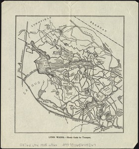
Lynn Woods : handy guide for trampers
3820.
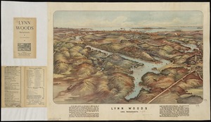
Lynn Woods : Lynn, Massachusetts
‹ Prev
Next ›
1
2
…
187
188
189
190
191
192
193
194
195
…
440
441


![Lynn, Mass [art original]](https://bpldcassets.blob.core.windows.net/derivatives/images/commonwealth:9s161g34q/image_thumbnail_300.jpg)