Toggle navigation
LMEC Home
Exhibitions
Georeferencing
Tools for Teachers
Collections
My Favorites
Sign Up / Log In
Search
Search the map portal
Map Collection
Map Collection
Map Sets
Search
Search
Search for
Search In
All Fields
Creator
Title
Subject
Place
Search All Digital Collections
Advanced Search
8740 Results
My Search
Start Over
More Like
commonwealth:cj82kw65q
Remove constraint More Like: commonwealth:cj82kw65q
Filter your Search
Place
North and Central America
5,961
United States
4,844
Massachusetts
2,079
Europe
1,396
Suffolk (county)
1,046
Boston
1,019
Canada
449
Asia
438
more
Place
»
Topic
Boston (Mass.)--Maps
586
United States--Maps
283
Real property--Massachusetts--Boston--Maps
175
Massachusetts--Maps
162
Landowners--Massachusetts--Boston--Maps
133
North America--Maps--Early works to 1800
103
New England--Maps
102
North America--Maps
85
more
Topic
»
Date
Date range begin
–
Date range end
Current results range from
1482
to
2023
View distribution
Creator
United States. Hydrographic Office
595
O.H. Bailey & Co
148
Des Barres, Joseph F. W. (Joseph Frederick Wallet), 1722-1824
123
United States. Post Office Dept
120
Ptolemy, 2nd cent
100
Walling, Henry Francis, 1825-1888
94
Jefferys, Thomas, -1771
87
Geological Survey (U.S.)
86
more
Creator
»
Format
Maps/Atlases
8,680
Manuscripts
215
Prints
56
Books
36
Objects/Artifacts
10
Drawings/Illustrations
8
Posters
5
Georeferenced
Yes
872
No
7,868
Collection
Norman B. Leventhal Map & Education Center Collection
8,695
Boston and New England Maps
2,233
Urban Maps
2,023
Maritime Charts and Atlases
1,083
American Revolutionary War-Era Maps
661
Boston Redevelopment Authority Collection
87
Maps from AAS
17
William L. Clements Library Collection
12
more
Collection
»
Available to use
No known restrictions
8,553
Creative Commons license
58
Search Constraints
Sort by relevance
relevance
title
date (asc)
date (desc)
Number of results to display per page
20 per page
10
per page
20
per page
50
per page
100
per page
View results as:
grid view
map view
Search Results
6481.
Plan of the estates nos. 246 to 252 Congress corner of Purchase Street and nos. 59 to 69 Purchase Street : to be sold by public...
6482.
Plan of the Federal St. Meeting House estate : to be sold by public auction, on Thursday February 24th 1859, at 12 o'clock noon...
6483.
A plan of the field of battle and disposition of the troops, as they were on the march at the time of the attack on the 9th of...
6484.
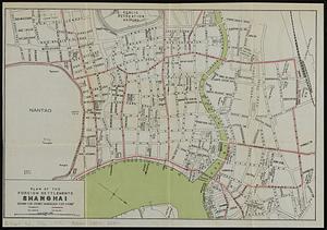
Plan of the foreign settlements, Shanghai : drawn for Crow's "Handbook for China"
6485.
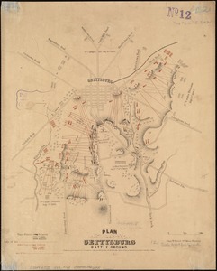
Plan of the Gettysburg battle ground
6486.
[Plan of the Gore Estate at the corner of Pitts and Green streets]
6487.
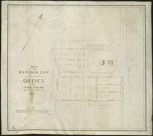
Plan of the Hancock lot given to the town of Quincy by John Adams, formerly President of the U.S
6488.
Plan of the harbour of Boston, from surveys made under the direction of commissioners appointed by a resolve of the...
6489.
Plan of the harbour of San Fernando de Omoa ; A map of the Isthmus of Panama, drawn from Spanish surveys
6490.
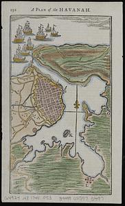
A plan of the Havanah
6491.
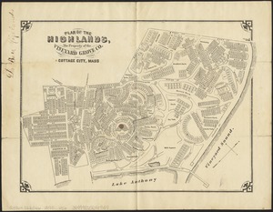
Plan of the Highlands, the property of the Vineyard Grove Co : Cottage City, Mass
6492.
Plan of the hotel estate in Chelsea belonging to the Winnisimmet Company
6493.
Plan of the Hotel Estate in Chelsea belonging to the Winnisimmet Company
6494.
Plan of the Hutchinson Estate on the corner of Hanover & Clark Streets : to be sold by public auction on Monday Feby. 20th 1871...
6495.
A plan of the island of St. John with the divisions of the counties, parishes, & the lots as granted by government, likewise...
6496.
Plan of the Kenberma Park Estates : Nantasket Beach, Hull, Mass.
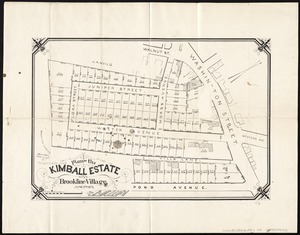
6497.
Plan of the Kimball Estate in Brookline Village : June 2nd 1873
6498.
[Plan of the land at Prince Street and Snowhill Street, Boston]
6499.
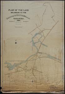
Plan of the land belonging to the Saunders Cotton Mills, Saundersville, Mass.
6500.
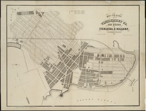
Plan of the lands of the Winnisimmet Co. and others in Chelsea & Malden
‹ Prev
Next ›
1
2
…
321
322
323
324
325
326
327
328
329
…
436
437


![[Plan of the Gore Estate at the corner of Pitts and Green streets]](https://bpldcassets.blob.core.windows.net/derivatives/images/commonwealth:9s161h402/image_thumbnail_300.jpg)


![[Plan of the land at Prince Street and Snowhill Street, Boston]](https://bpldcassets.blob.core.windows.net/derivatives/images/commonwealth:4m90f3650/image_thumbnail_300.jpg)