Toggle navigation
LMEC Home
Exhibitions
Georeferencing
Tools for Teachers
Collections
My Favorites
Sign Up / Log In
Search
Search the map portal
Map Collection
Map Collection
Map Sets
Search
Search
Search for
Search In
All Fields
Creator
Title
Subject
Place
Search All Digital Collections
Advanced Search
8715 Results
My Search
Start Over
More Like
commonwealth:cj82kk14c
Remove constraint More Like: commonwealth:cj82kk14c
Filter your Search
Place
North and Central America
5,946
United States
4,857
Massachusetts
2,079
Europe
1,396
Suffolk (county)
1,046
Boston
1,019
Canada
449
Asia
438
more
Place
»
Topic
Boston (Mass.)--Maps
586
United States--Maps
282
Real property--Massachusetts--Boston--Maps
175
Massachusetts--Maps
162
Landowners--Massachusetts--Boston--Maps
133
North America--Maps--Early works to 1800
103
New England--Maps
102
Europe--Maps
79
more
Topic
»
Date
Date range begin
–
Date range end
Current results range from
1482
to
2023
View distribution
Creator
United States. Hydrographic Office
595
O.H. Bailey & Co
148
Des Barres, Joseph F. W. (Joseph Frederick Wallet), 1722-1824
123
United States. Post Office Dept
119
Ptolemy, 2nd cent
100
Walling, Henry Francis, 1825-1888
94
Geological Survey (U.S.)
86
Jefferys, Thomas, -1771
86
more
Creator
»
Format
Maps/Atlases
8,655
Manuscripts
215
Prints
56
Books
36
Objects/Artifacts
10
Drawings/Illustrations
8
Posters
5
Georeferenced
Yes
868
No
7,847
Collection
Norman B. Leventhal Map & Education Center Collection
8,694
Boston and New England Maps
2,233
Urban Maps
2,023
Maritime Charts and Atlases
1,083
American Revolutionary War-Era Maps
637
Boston Redevelopment Authority Collection
87
William L. Clements Library Collection
13
American Antiquarian Society Collection
7
more
Collection
»
Available to use
No known restrictions
8,552
Creative Commons license
47
Search Constraints
Sort by relevance
relevance
title
date (asc)
date (desc)
Number of results to display per page
20 per page
10
per page
20
per page
50
per page
100
per page
View results as:
grid view
map view
Search Results
2121.
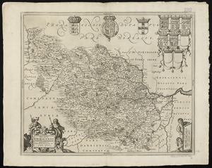
Ducatus Eboracensis pars occidentalis = the Westriding of York Shire
2122.
Ducatus Eboracensis pars orientalis = The Eastriding of Yorke Shire
2123.
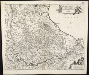
Ducatus Geldriae Tetrachia Arnhemiensis sive Velavia
2124.
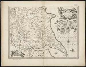
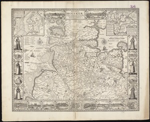
Ducatus Holsatiae, summa diligentia accurataque censura noviter
2125.
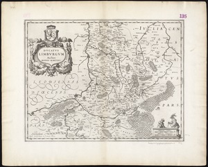
Ducatus Limburgum
2126.
Ducatus Meklenburgicus in quo sunt Ducatus Vandaliae et Meklenburgi Comitatus et Episcopatus Swerinensis Rostochiense et...
2127.
Ducatus Pomeraniae tabula generalis, in qua sunt Ducatus Pomeraniae, Stettinensis, Cassubiae, Vandaliae, et Bardensis,...
2128.
Ducatus Slesvicensis in omnes suas praefecturas circulos et provincias distinte divisus
2129.
Ducatus Wurtenbergensis : cum adjacentibus quibusdam Sueviae regionibus
2130.
Dunn County, Wis.
2131.
Duodecima Asiae tabula
2132.
Duodecima et Ultima Asie tabula continet Taprobana insulam cum certeris insulis adiacentibus
2133.
The Dutch colony of Surinam, as laid down by L: Colonel Spiering, Chief Engineer at Surinam
2134.
The Dutch colony of the Cape of Good Hope
2135.
The Dutch islands of St. Eustatia, Saba, and St. Martins ; the French island of St. Bartholomew ; the English islands of St....
2136.
E. & G.W. Blunt's corrected map of the seat of war near Richmond, July 10th, 1862
2137.
E. & G.W. Blunt's corrected map of Washington and the seat of war on the Potomac
2138.
E. & G.W. Blunt's map of Charleston and vicinity
2139.
The eagle map of the United States
2140.
The Earth's Western planisphere
‹ Prev
Next ›
1
2
…
103
104
105
106
107
108
109
110
111
…
435
436