Toggle navigation
LMEC Home
Exhibitions
Georeferencing
Tools for Teachers
Collections
My Favorites
Sign Up / Log In
Search
Search the map portal
Map Collection
Map Collection
Map Sets
Search
Search
Search for
Search In
All Fields
Creator
Title
Subject
Place
Search All Digital Collections
Advanced Search
178 Results
My Search
Start Over
More Like
commonwealth:bk12c128p
Remove constraint More Like: commonwealth:bk12c128p
Filter your Search
Place
North and Central America
178
United States
175
Middlesex (county)
60
Massachusetts
40
Suffolk (county)
40
Boston
38
Essex (county)
29
Norfolk (county)
13
more
Place
»
Topic
Landowners--Massachusetts--Boston--Maps
35
Real property--Massachusetts--Boston--Maps
35
Buildings--Massachusetts--Boston--Maps
34
Boston (Mass.)--Maps
14
Middlesex County (Mass.)--Maps
14
Buildings--Massachusetts--Brookline--Maps
9
Dorchester (Boston, Mass.)--Maps
8
Landowners--Massachusetts--Middlesex County--Maps
8
more
Topic
»
Date
Date range begin
–
Date range end
Current results range from
1795
to
2005
View distribution
Creator
Bromley, George Washington
36
Bromley, Walter Scott
36
G.W. Bromley & Co.
36
Geo. H. Walker & Co.
25
Hopkins, Griffith Morgan, Jr.
20
L.J. Richards & Co.
15
Richards Map Company
7
Walker Lith. & Pub. Co.
7
more
Creator
»
Format
Maps/Atlases
178
Books
4
Georeferenced
Yes
1
No
177
Collection
Massachusetts Real Estate Atlases
143
Norman B. Leventhal Map & Education Center Collection
32
Boston and New England Maps
30
Urban Maps
21
American Revolutionary War-Era Maps
3
Applied Geographics, Inc. Records
3
William L. Clements Library Collection
3
David Judkins Weaver Papers
1
Available to use
No known restrictions
32
Search Constraints
Sort by relevance
relevance
title
date (asc)
date (desc)
Number of results to display per page
20 per page
10
per page
20
per page
50
per page
100
per page
View results as:
grid view
map view
Search Results
161.
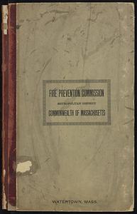
Insurance maps of Watertown, Middlesex County, Massachusetts
162.
Maps of the street-lines of Boston : made for the Selectmen in 1819 and 1820
163.
Marlborough, Middlesex County, Massachusetts
164.
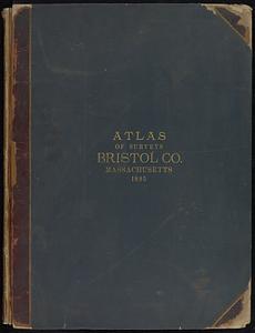
New topographical atlas of surveys Bristol County, Massachusetts
165.
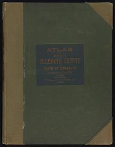
New topographical atlas of surveys Plymouth County, together with town of Cohasset, Norfolk County, Massachusetts
166.
New topographical atlas of the county of Hampden, Massachusetts
167.
Official topographical atlas of Massachusetts : from astronomical, trigonometrical and various local surveys
168.
Plans of estates of William C. Barstow
169.
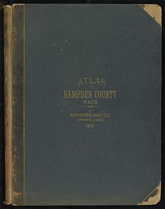
Richards standard atlas of Hampden County, Massachusetts
170.
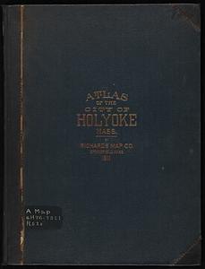
Richards standard atlas of the city of Holyoke, Massachusetts : containing ten double page maps in colors, covering the entire...
171.
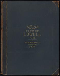
Richards standard atlas of the city of Lowell, Massachusetts
172.
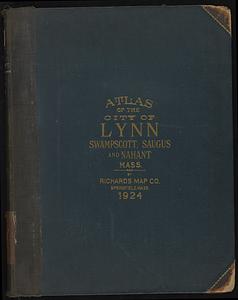
Richards standard atlas of the city of Lynn and the towns of Swampscott, Saugus, and Nahant, Massachusetts
173.
Richards Standard atlas of the city of Springfield and the town of Longmeadow, Massachusetts
174.
Richards Standard Atlas of the city of Worcester, Massachusetts
175.
Richards standard atlas of the city of Worcester, Massachusetts
176.
Richards standard atlas of the town of Greenfield, Massachusetts
177.
Saugus, Essex County, Massachusetts
178.
Town of Nahant
‹ Prev
Next ›
1
2
…
5
6
7
8
9