Search Constraints
Search Results

8241. United Provinces

8242. United States


8245. United States

8246. United States

8247. United States
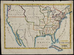
![[United States]](https://bpldcassets.blob.core.windows.net/derivatives/images/commonwealth:7h149x55n/image_thumbnail_300.jpg)
8248. [United States]


8250. United States

8251. United States

8252. United States

8253. United States
8254. United States


