Toggle navigation
LMEC Home
Exhibitions
Georeferencing
Tools for Teachers
Collections
My Favorites
Sign Up / Log In
Search
Search the map portal
Map Collection
Map Collection
Map Sets
Search
Search
Search for
Search In
All Fields
Creator
Title
Subject
Place
Search All Digital Collections
Advanced Search
8784 Results
My Search
Start Over
More Like
commonwealth:8049g961x
Remove constraint More Like: commonwealth:8049g961x
Filter your Search
Place
North and Central America
5,981
United States
4,916
Massachusetts
2,079
Europe
1,396
Suffolk (county)
1,046
Boston
1,019
Canada
469
Asia
438
more
Place
»
Topic
Boston (Mass.)--Maps
586
United States--Maps
282
Real property--Massachusetts--Boston--Maps
175
Massachusetts--Maps
162
Landowners--Massachusetts--Boston--Maps
133
North America--Maps--Early works to 1800
121
United States--Maps--Early works to 1800
103
New England--Maps
102
more
Topic
»
Date
Date range begin
–
Date range end
Current results range from
1482
to
2023
View distribution
Creator
United States. Hydrographic Office
595
O.H. Bailey & Co
148
Des Barres, Joseph F. W. (Joseph Frederick Wallet), 1722-1824
123
United States. Post Office Dept
120
Ptolemy, 2nd cent
100
Walling, Henry Francis, 1825-1888
94
Jefferys, Thomas, -1771
87
Geological Survey (U.S.)
86
more
Creator
»
Format
Maps/Atlases
8,724
Manuscripts
215
Prints
56
Books
36
Objects/Artifacts
10
Drawings/Illustrations
8
Posters
5
Georeferenced
Yes
872
No
7,912
Collection
Norman B. Leventhal Map & Education Center Collection
8,696
Boston and New England Maps
2,233
Urban Maps
2,023
Maritime Charts and Atlases
1,083
American Revolutionary War-Era Maps
703
Boston Redevelopment Authority Collection
87
MacLean Collection Map Library
46
New York Public Library Collection
24
more
Collection
»
Available to use
No known restrictions
8,556
Creative Commons license
85
Search Constraints
Sort by relevance
relevance
title
date (asc)
date (desc)
Number of results to display per page
20 per page
10
per page
20
per page
50
per page
100
per page
View results as:
grid view
map view
Search Results
1661.
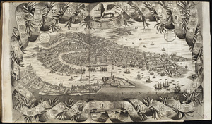
Citta di Venezia
1662.
City atlas of Boston, Massachusetts : complete in one volume : from official records, private plans and actual surveys
1663.
City atlas of Lawrence, Massachusetts : from official records, private plans and actual surveys, based upon plans deposited in...
1664.
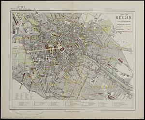
City of Berlin
1665.
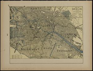
City of Berlin
1666.
The city of Binghamton, Broome Co., N.Y : as extended May 19th, 1908
1667.
The city of Boston : 1879
1668.
City of Boston
1669.
City of Boston : topographic and planimetric survey
1670.
The City of Boston : 1879
1671.
The City of Boston : 1879
1672.
The city of Boston
1673.
City of Boston Granary Burying Ground : Boston proper
1674.
City of Boston improved sewerage : plan showing location of main and secondary intercepting sewers
1675.
City of Boston improved sewerage : plan showing region drained by, and lines of proposed intercepting sewer, also course of...
1676.
City of Boston plan of Columbia Road, showing connection with Franklin Park and Marine Park : under chapter 394 acts of 1897
1677.
City of Boston topographic and planimetric survey : [Downtown and North End]
1678.
City of Boston zoning map
1679.
City of Brockton
1680.
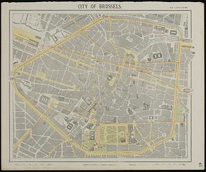
City of Brussels
‹ Prev
Next ›
1
2
…
80
81
82
83
84
85
86
87
88
…
439
440