Toggle navigation
LMEC Home
Exhibitions
Georeferencing
Tools for Teachers
Collections
My Favorites
Sign Up / Log In
Search
Search the map portal
Map Collection
Map Collection
Map Sets
Search
Search
Search for
Search In
All Fields
Creator
Title
Subject
Place
Search All Digital Collections
Advanced Search
455 Results
My Search
Start Over
More Like
commonwealth:7h14cx08m
Remove constraint More Like: commonwealth:7h14cx08m
Filter your Search
Place
North and Central America
452
United States
449
Suffolk (county)
441
Boston
440
Massachusetts
138
Roxbury
87
South End
41
Fens
40
more
Place
»
Topic
City planning--Massachusetts--Boston--Maps
358
Urban renewal--Massachusetts--Boston--Maps
236
Boston (Mass.)--Maps
125
Land use--Massachusetts--Boston--Maps
102
Roxbury (Boston, Mass.)--Maps
89
Buildings--Massachusetts--Boston--Maps
78
Real property--Massachusetts--Boston--Maps
72
Central business districts--Massachusetts--Boston--Maps
40
more
Topic
»
Date
Date range begin
–
Date range end
Current results range from
1832
to
2003
View distribution
Creator
Boston Redevelopment Authority
336
Bromley, George Washington
17
Bromley, Walter Scott
17
G.W. Bromley & Co.
12
Downtown Waterfront Corporation
10
Victor Gruen Associates
10
Charles A. Maguire and Associates
5
I.M. Pei & Associates
5
more
Creator
»
Format
Maps/Atlases
455
Manuscripts
1
Prints
1
Georeferenced
Yes
6
No
449
Collection
Boston and New England Maps
443
Urban Maps
430
Boston Redevelopment Authority Collection
393
Norman B. Leventhal Map & Education Center Collection
65
Massachusetts Real Estate Atlases
4
Applied Geographics, Inc. Records
2
Mapping Boston Collection
1
Available to use
No known restrictions
449
Creative Commons license
1
Search Constraints
Sort by relevance
relevance
title
date (asc)
date (desc)
Number of results to display per page
20 per page
10
per page
20
per page
50
per page
100
per page
View results as:
grid view
map view
Search Results
381.
Public outdoor recreation master plan
382.
Recommended geometrics plan : Back Bay study area
383.
Relationship between selected recreation sites and public transportation facilities Boston metropolitan area 1971
384.
Relationship of TNEMC development plan area to New York streets land assembly and redevelopment project
385.
Report on improvements to the Boston main drainage system
386.
Report on the alternate master highway plan for the Boston metropolitan area
387.
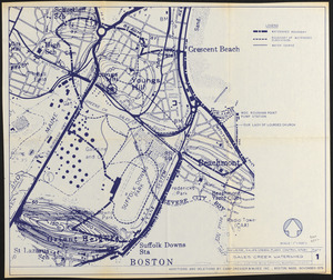
Revere, Sales Creek - flood control study
388.
Shawmut Avenue
389.
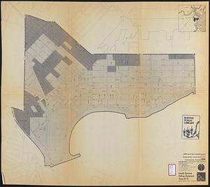
South Boston urban renewal area R-51 : existing population density
390.
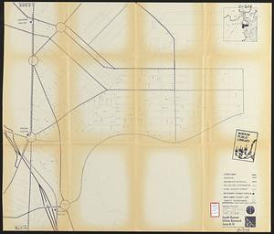
South Boston urban renewal area R-51
391.
South Boston urban renewal area r-51 : proposed circulation
392.
South Boston urban renewal area r-51 : existing and proposed community facilities
393.
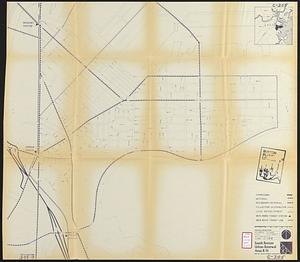
South Boston urban renewal area r-51 : existing circulation
394.
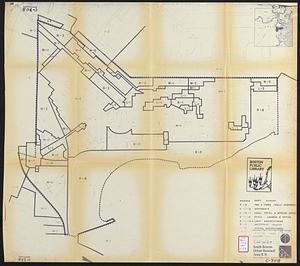
South Boston urban renewal area r-51 : building conditions
395.
South Boston urban renewal area r-51 : existing population density
396.
South Boston urban renewal area r-51 : proposed treatment and title I projects
397.
South Boston urban renewal area r-51 : existing and proposed public facilities
398.
South Boston urban renewal area r-51 : proposed circulation
399.
South Boston urban renewal area r-51 : existing circulation
400.
South Boston urban renewal area r-51 : existing zoning
‹ Prev
Next ›
1
2
…
16
17
18
19
20
21
22
23