Toggle navigation
LMEC Home
Exhibitions
Georeferencing
Tools for Teachers
Collections
My Favorites
Sign Up / Log In
Search
Search the map portal
Map Collection
Map Collection
Map Sets
Search
Search
Search for
Search In
All Fields
Creator
Title
Subject
Place
Search All Digital Collections
Advanced Search
8942 Results
My Search
Start Over
More Like
commonwealth:7h149x05f
Remove constraint More Like: commonwealth:7h149x05f
Filter your Search
Place
North and Central America
6,165
United States
5,085
Massachusetts
2,127
Europe
1,396
Suffolk (county)
1,207
Boston
1,180
Canada
464
Asia
438
more
Place
»
Topic
Boston (Mass.)--Maps
752
United States--Maps
330
Real property--Massachusetts--Boston--Maps
195
Massachusetts--Maps
166
City planning--Massachusetts--Boston--Maps
157
Landowners--Massachusetts--Boston--Maps
142
New England--Maps
104
North America--Maps--Early works to 1800
103
more
Topic
»
Date
Date range begin
–
Date range end
Current results range from
1482
to
2023
View distribution
Creator
United States. Hydrographic Office
595
Boston Redevelopment Authority
162
O.H. Bailey & Co
148
Des Barres, Joseph F. W. (Joseph Frederick Wallet), 1722-1824
124
United States. Post Office Dept
120
Ptolemy, 2nd cent
100
Walling, Henry Francis, 1825-1888
94
Geological Survey (U.S.)
88
more
Creator
»
Format
Maps/Atlases
8,882
Manuscripts
218
Prints
56
Books
36
Objects/Artifacts
10
Drawings/Illustrations
8
Posters
5
Georeferenced
Yes
887
No
8,055
Collection
Norman B. Leventhal Map & Education Center Collection
8,729
Boston and New England Maps
2,358
Urban Maps
2,143
Maritime Charts and Atlases
1,084
American Revolutionary War-Era Maps
707
Boston Redevelopment Authority Collection
191
William L. Clements Library Collection
43
American Antiquarian Society Collection
33
more
Collection
»
Available to use
No known restrictions
8,670
Creative Commons license
76
Search Constraints
Sort by relevance
relevance
title
date (asc)
date (desc)
Number of results to display per page
20 per page
10
per page
20
per page
50
per page
100
per page
View results as:
grid view
map view
Search Results
8581.
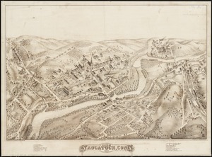
View of Naugatuck, Conn : 1877
8582.
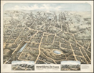
View of New Britain, Conn : 1875
8583.
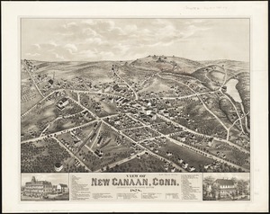
View of New Canaan, Conn : 1878
8584.
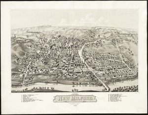
View of New Milford, Conn : 1882
8585.
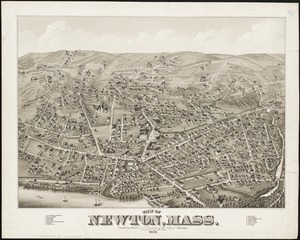
View of Newton, Mass : comprising Wards 1 & 7 & environs of the city of Newton
8586.
View of North Easton, Massachusetts, 1881
8587.
View of North Manchester, Connecticut : 1880
8588.
View of Northborough, Massachusetts : 1887
8589.
View of Oneida, N.Y : 1874
8590.
View of Palmer, Mass
8591.
A view of part of the town of Boston in New-England and Brittish [sic] ships of war landing their troops! 1768
8592.
View of Peabody, Mass : 1877
8593.
A view of Port Hood, sailing into the harbor : A view of the Plaister Cliffs, in George's Bay
8594.
A view of Portsmouth in Piscataqua River
8595.
View of Public Square, Atlanta, Ga.
8596.
View of Putnam, Conn : 1877
8597.
View of Randolph, Mass : 1882
8598.
View of Rockville, Conn : 1877
8599.
View of Saxonville, Mass
8600.
View of Sea Isle City : New Jersey
‹ Prev
Next ›
1
2
…
426
427
428
429
430
431
432
433
434
…
447
448


![A view of part of the town of Boston in New-England and Brittish [sic] ships of war landing their troops! 1768](https://bpldcassets.blob.core.windows.net/derivatives/images/commonwealth:4m90f851p/image_thumbnail_300.jpg)


