Toggle navigation
LMEC Home
Exhibitions
Georeferencing
Tools for Teachers
Collections
My Favorites
Sign Up / Log In
Search
Search the map portal
Map Collection
Map Collection
Map Sets
Search
Search
Search for
Search In
All Fields
Creator
Title
Subject
Place
Search All Digital Collections
Advanced Search
8740 Results
My Search
Start Over
More Like
commonwealth:7h149w609
Remove constraint More Like: commonwealth:7h149w609
Filter your Search
Place
North and Central America
5,961
United States
4,845
Massachusetts
2,079
Europe
1,396
Suffolk (county)
1,046
Boston
1,019
Canada
449
Asia
438
more
Place
»
Topic
Boston (Mass.)--Maps
586
United States--Maps
283
Real property--Massachusetts--Boston--Maps
175
Massachusetts--Maps
162
Landowners--Massachusetts--Boston--Maps
133
North America--Maps--Early works to 1800
103
New England--Maps
102
North America--Maps
85
more
Topic
»
Date
Date range begin
–
Date range end
Current results range from
1482
to
2023
View distribution
Creator
United States. Hydrographic Office
595
O.H. Bailey & Co
148
Des Barres, Joseph F. W. (Joseph Frederick Wallet), 1722-1824
123
United States. Post Office Dept
120
Ptolemy, 2nd cent
100
Walling, Henry Francis, 1825-1888
94
Jefferys, Thomas, -1771
87
Geological Survey (U.S.)
86
more
Creator
»
Format
Maps/Atlases
8,680
Manuscripts
215
Prints
56
Books
36
Objects/Artifacts
10
Drawings/Illustrations
8
Posters
5
Georeferenced
Yes
872
No
7,868
Collection
Norman B. Leventhal Map & Education Center Collection
8,695
Boston and New England Maps
2,233
Urban Maps
2,023
Maritime Charts and Atlases
1,083
American Revolutionary War-Era Maps
661
Boston Redevelopment Authority Collection
87
Maps from AAS
17
William L. Clements Library Collection
12
more
Collection
»
Available to use
No known restrictions
8,553
Creative Commons license
58
Search Constraints
Sort by relevance
relevance
title
date (asc)
date (desc)
Number of results to display per page
20 per page
10
per page
20
per page
50
per page
100
per page
View results as:
grid view
map view
Search Results
2001.
Density of population, 1810
2002.
Density of population, 1820
2003.
Density of population, 1830
2004.
Density of population, 1840
2005.
Density of population, 1850
2006.
Density of population, 1860
2007.
Density of population, 1870
2008.
Density of population, 1880
2009.
Density of population, 1890
2010.
Density of population, 1900
2011.
Density of population, 1910
2012.
Density of population, 1920
2013.
Density of population in greater Tokyo - census of 1926
2014.
Derry Depot, N.H : Rockingham County : 1887
2015.
Derry, New Hampshire
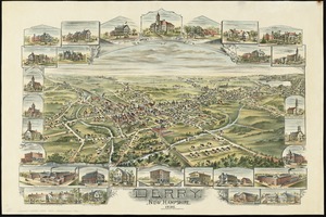
2016.
Descriptio Corsicae insulae : Descriptio Sardiniae insulae
2017.
Description du pais de Valois
2018.
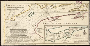
A description of the Bay of Fundy : shewing ye coast, islands, harbours, creeks, coves, rocks & sholes, soundings & anchorings &c
2019.
A description of the towne of Mannados or New Amsterdam : as it was in September, 1661, lying in lattitude 40 de. and 40 m.,...
2020.
A description of the towne of Mannados or New Amsterdam : as it was in September, 1661, lying in lattitude 40 de. and 40 m.,...
‹ Prev
Next ›
1
2
…
97
98
99
100
101
102
103
104
105
…
436
437