Toggle navigation
LMEC Home
Exhibitions
Georeferencing
Tools for Teachers
Collections
My Favorites
Sign Up / Log In
Search
Search the map portal
Map Collection
Map Collection
Map Sets
Search
Search
Search for
Search In
All Fields
Creator
Title
Subject
Place
Search All Digital Collections
Advanced Search
8785 Results
My Search
Start Over
More Like
commonwealth:6h446t227
Remove constraint More Like: commonwealth:6h446t227
Filter your Search
Place
North and Central America
6,016
United States
4,934
Massachusetts
2,081
Europe
1,396
Suffolk (county)
1,136
Boston
1,109
Canada
449
Asia
438
more
Place
»
Topic
Boston (Mass.)--Maps
588
United States--Maps
282
Real property--Massachusetts--Boston--Maps
189
Massachusetts--Maps
162
City planning--Massachusetts--Boston--Maps
143
Landowners--Massachusetts--Boston--Maps
137
North America--Maps--Early works to 1800
103
New England--Maps
102
more
Topic
»
Date
Date range begin
–
Date range end
Current results range from
1482
to
2023
View distribution
Creator
United States. Hydrographic Office
595
O.H. Bailey & Co
148
Boston Redevelopment Authority
144
Des Barres, Joseph F. W. (Joseph Frederick Wallet), 1722-1824
123
United States. Post Office Dept
120
Ptolemy, 2nd cent
100
Walling, Henry Francis, 1825-1888
94
Geological Survey (U.S.)
86
more
Creator
»
Format
Maps/Atlases
8,725
Manuscripts
215
Prints
56
Books
36
Objects/Artifacts
10
Drawings/Illustrations
8
Posters
5
Georeferenced
Yes
871
No
7,914
Collection
Norman B. Leventhal Map & Education Center Collection
8,697
Boston and New England Maps
2,319
Urban Maps
2,108
Maritime Charts and Atlases
1,083
American Revolutionary War-Era Maps
616
Boston Redevelopment Authority Collection
171
Massachusetts Real Estate Atlases
4
Applied Geographics, Inc. Records
1
more
Collection
»
Available to use
No known restrictions
8,638
Creative Commons license
48
Search Constraints
Sort by relevance
relevance
title
date (asc)
date (desc)
Number of results to display per page
20 per page
10
per page
20
per page
50
per page
100
per page
View results as:
grid view
map view
Search Results
6901.
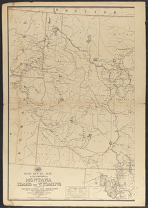
Post route map of the territories of Montana, Idaho, and Wyoming with parts of adjacent states and territories showing post...
6902.
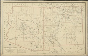
Post route map of the territories of New Mexico and Arizona with parts of adjacent states and territories showing post offices...
6903.
Post route map of the territories of New Mexico and Arizona with parts of adjacent states and territories showing post offices...
6904.
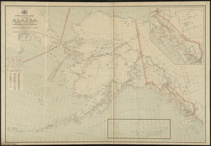
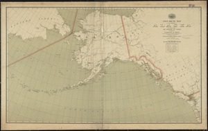
Post route map of the territory of Alaska showing post offices and the intermediate distances on mail routes in operation on...
6905.
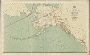
Post route map of the territory of Alaska with adjacent parts of the Dominion of Canada and portions of Washington and Oregon...
6906.
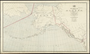
Post route map of the territory of Alaska with adjacent parts of the Dominion of Canada and portions of Washington and Oregon...
6907.
Post route map of the territory of Alaska with adjacent parts of the Dominion of Canada and portions of Washington and Oregon...
6908.
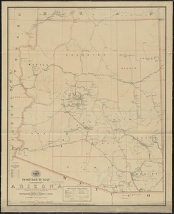
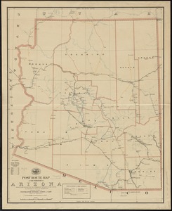
Post route map of the territory of Arizona showing post offices with the intermediate distances and mail routes in operation on...
6909.
Post route map of the territory of Arizona showing post offices with the intermediate distances on mail routes in operation on...
6910.
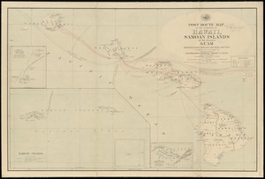
Post route map of the territory of Hawaii, Samoan Islands and the island of Guam showing post offices in operation on the 1st...
6911.
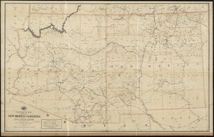
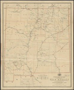
Post route map of the territory of New Mexico showing post offices with the intermediate distances and mail routes in operation...
6912.
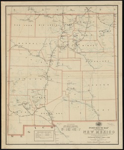
Post route map of the territory of New Mexico showing post offices with the intermediate distances on mail routes in operation...
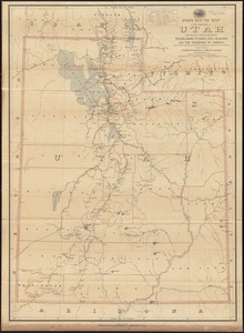
6913.
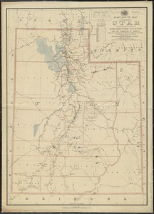
Post route map of the territory of Utah with adjacent parts of the states of Nevada, Idaho, Wyoming and Colorado and the...
6914.
Post route map of the territory of Utah with adjacent parts of the states of Nevada, Idaho, Wyoming and Colorado and the...
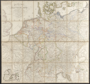
6915.
Post und reise-karte von Deutschland und den anliegenden ländern : für extraposten, couriere, diligencen und eilwagen
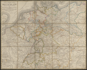
6916.
Post- und reise-karte von Deutschland und den anliegenden ländern bis London, Havre de Grace, Tours, Lyon, Genua, Bologna,...
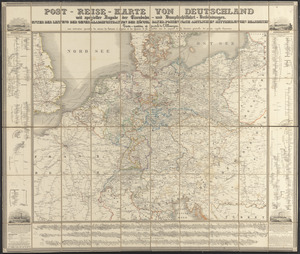
6917.
Post-reise-karte von Deutschland mit spezieller angabe der eisenbahn- und dampfschiffahrt-verbindungen : unter der leitung der...
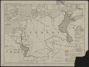
6918.
Post-World War I Germany
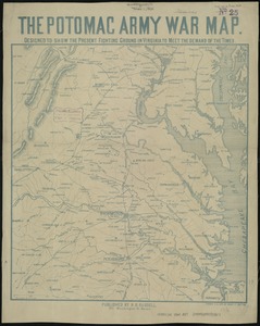
6919.
The Potomac army war map : designed to show the present fighting ground in Virginia to meet the demand of the times
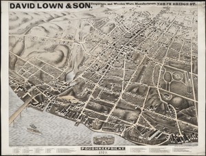
6920.
Poughkeepsie, N.Y : 1874
‹ Prev
Next ›
1
2
…
342
343
344
345
346
347
348
349
350
…
439
440