Toggle navigation
LMEC Home
Exhibitions
Georeferencing
Tools for Teachers
Collections
My Favorites
Sign Up / Log In
Search
Search the map portal
Map Collection
Map Collection
Map Sets
Search
Search
Search for
Search In
All Fields
Creator
Title
Subject
Place
Search All Digital Collections
Advanced Search
8803 Results
My Search
Start Over
More Like
commonwealth:4m90fd76c
Remove constraint More Like: commonwealth:4m90fd76c
Filter your Search
Place
North and Central America
6,034
United States
4,931
Massachusetts
2,153
Europe
1,396
Suffolk (county)
1,049
Boston
1,022
Canada
456
Asia
438
more
Place
»
Topic
Boston (Mass.)--Maps
592
United States--Maps
282
Massachusetts--Maps
235
Real property--Massachusetts--Boston--Maps
175
Landowners--Massachusetts--Boston--Maps
133
New England--Maps
127
North America--Maps--Early works to 1800
103
Europe--Maps
79
more
Topic
»
Date
Date range begin
–
Date range end
Current results range from
1482
to
2023
View distribution
Creator
United States. Hydrographic Office
595
O.H. Bailey & Co
148
Des Barres, Joseph F. W. (Joseph Frederick Wallet), 1722-1824
123
United States. Post Office Dept
120
Ptolemy, 2nd cent
100
Walling, Henry Francis, 1825-1888
95
Geological Survey (U.S.)
93
Jefferys, Thomas, -1771
86
more
Creator
»
Format
Maps/Atlases
8,742
Manuscripts
217
Prints
56
Books
36
Objects/Artifacts
10
Drawings/Illustrations
8
Posters
5
Ephemera
1
Georeferenced
Yes
881
No
7,922
Collection
Norman B. Leventhal Map & Education Center Collection
8,742
Boston and New England Maps
2,286
Urban Maps
2,024
Maritime Charts and Atlases
1,083
American Revolutionary War-Era Maps
660
Boston Redevelopment Authority Collection
90
David Judkins Weaver Papers
23
Applied Geographics, Inc. Records
20
more
Collection
»
Available to use
No known restrictions
8,600
Creative Commons license
54
Search Constraints
Sort by relevance
relevance
title
date (asc)
date (desc)
Number of results to display per page
20 per page
10
per page
20
per page
50
per page
100
per page
View results as:
grid view
map view
Search Results
1921.
Circulus Franconius, in quo sunt episcopatus Wurtzburg, Bamberg et Aichstet : status equitum Teutonicor ducatus Coburgensis :...
1922.
Circulus Franconius, in quo sunt episcopatus Wurtzburg, Bamberg et Aichstet : Status equitum Teutonicor ducatus Coburgensis :...
1923.
Circulus Saxoniae inferioris in quo sunt ducatus Holsatiae, Mecklenburgi, Lauwenburgi, Luneburgi, Brunsuigi, Bremae et Ferdae,...
1924.
Circulus Suevicus in quo sunt Ducatus Wirtenbergensis, Marchionatus Badensis & Burgoviensis, Comitatus Otting, Rechberg,...
1925.
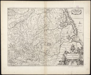
Circulus Westphalicus, sive Germaniae inferioris
1926.
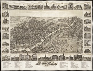
Cities of East Saginaw and Saginaw, Michigan, 1885
1927.
Citizens & travelers guide map in, to and from the city of New York and adjacent places
1928.
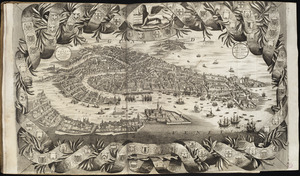
Citta di Venezia
1929.
City atlas of Boston, Massachusetts : complete in one volume : from official records, private plans and actual surveys
1930.
City atlas of Lawrence, Massachusetts : from official records, private plans and actual surveys, based upon plans deposited in...
1931.
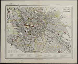
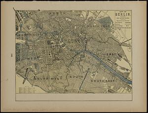
City of Berlin
1932.
City of Berlin
1933.
The city of Binghamton, Broome Co., N.Y : as extended May 19th, 1908
1934.
The city of Boston : 1879
1935.
City of Boston
1936.
City of Boston : topographic and planimetric survey
1937.
The City of Boston : 1879
1938.
The City of Boston : 1879
1939.
The city of Boston
1940.
City of Boston Granary Burying Ground : Boston proper
‹ Prev
Next ›
1
2
…
93
94
95
96
97
98
99
100
101
…
440
441