Toggle navigation
LMEC Home
Exhibitions
Georeferencing
Tools for Teachers
Collections
My Favorites
Sign Up / Log In
Search
Search the map portal
Map Collection
Map Collection
Map Sets
Search
Search
Search for
Search In
All Fields
Creator
Title
Subject
Place
Search All Digital Collections
Advanced Search
8802 Results
My Search
Start Over
More Like
commonwealth:4m90f418t
Remove constraint More Like: commonwealth:4m90f418t
Filter your Search
Place
North and Central America
6,033
United States
4,937
Massachusetts
2,154
Europe
1,396
Suffolk (county)
1,049
Boston
1,022
Canada
456
Asia
438
more
Place
»
Topic
Boston (Mass.)--Maps
592
United States--Maps
282
Massachusetts--Maps
235
Real property--Massachusetts--Boston--Maps
175
Landowners--Massachusetts--Boston--Maps
133
New England--Maps
127
North America--Maps--Early works to 1800
103
Europe--Maps
79
more
Topic
»
Date
Date range begin
–
Date range end
Current results range from
1482
to
2023
View distribution
Creator
United States. Hydrographic Office
595
O.H. Bailey & Co
148
Des Barres, Joseph F. W. (Joseph Frederick Wallet), 1722-1824
123
United States. Post Office Dept
120
Ptolemy, 2nd cent
100
Walling, Henry Francis, 1825-1888
95
Geological Survey (U.S.)
93
Jefferys, Thomas, -1771
86
more
Creator
»
Format
Maps/Atlases
8,741
Manuscripts
217
Prints
56
Books
36
Objects/Artifacts
10
Drawings/Illustrations
8
Posters
5
Ephemera
1
Georeferenced
Yes
881
No
7,921
Collection
Norman B. Leventhal Map & Education Center Collection
8,742
Boston and New England Maps
2,286
Urban Maps
2,024
Maritime Charts and Atlases
1,083
American Revolutionary War-Era Maps
660
Boston Redevelopment Authority Collection
90
David Judkins Weaver Papers
23
Applied Geographics, Inc. Records
20
more
Collection
»
Available to use
No known restrictions
8,600
Creative Commons license
54
Search Constraints
Sort by relevance
relevance
title
date (asc)
date (desc)
Number of results to display per page
20 per page
10
per page
20
per page
50
per page
100
per page
View results as:
grid view
map view
Search Results
6921.
Post route map of the states of California and Nevada showing post offices with the intermediate distances on mail routes in...
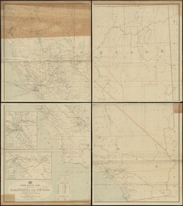
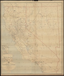
6922.
Post route map of the states of California and Nevada with adjacent parts of Oregon, Idaho, Utah, Arizona and of the Republic...
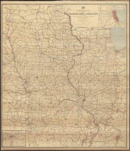
6923.
Post route map of the states of Illinois, Iowa, and Missouri with adjacent parts of Indiana, Wisconsin, Minnesota, Nebraska,...
6924.
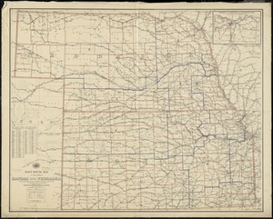
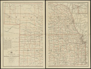
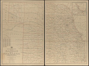
Post route map of the states of Kansas and Nebraska showing post offices with the intermediate distances and mail routes in...
6925.
Post route map of the states of Kansas and Nebraska showing post offices with the intermediate distances on mail routes in...
6926.
Post route map of the states of Kansas and Nebraska showing post offices with the intermediate distances on mail routes in...
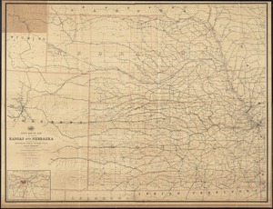
6927.
Post route map of the states of Kansas and Nebraska with adjacent parts of Missouri, Iowa, Dakota, Colorado, Texas, and Indian...
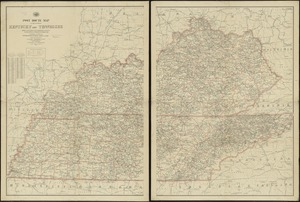
6928.
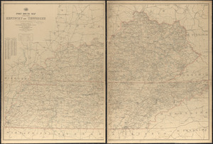
Post route map of the states of Kentucky and Tennessee showing post offices and intermediate distances on mail routes in...
6929.
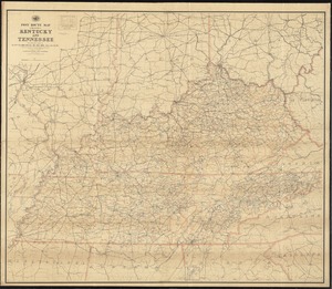
Post route map of the states of Kentucky and Tennessee showing post offices with the intermediate distances and mail routes in...
6930.
Post route map of the states of Kentucky and Tennessee with adjacent parts of Va., West Va., Ohio, Ind., Ill., Mo., Ark.,...
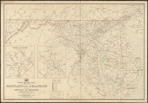
6931.
Post route map of the states of Maryland and Delaware and of the District of Columbia showing post offices with the...
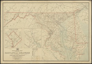
6932.
Post route map of the states of Maryland and Delaware and of the District of Columbia showing post offices with the...
6933.
Post route map of the states of Michigan and Wisconsin showing post offices and the intermediate distances on mail routes in...
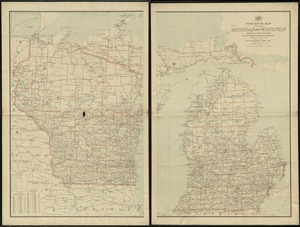
6934.
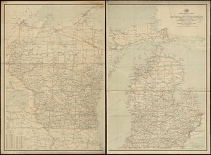
Post route map of the states of Michigan and Wisconsin showing post offices with the intermediate distances on mail routes in...
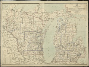
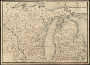
6935.
Post route map of the states of Michigan and Wisconsin with adjacent parts of Ohio, Indiana, Illinois, Iowa and Minnesota...
6936.
Post route map of the states of Michigan and Wisconsin with adjacent parts of Ohio, Indiana, Illinois, Iowa and Minnesota...
6937.
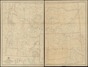
Post route map of the states of Montana, Idaho and Wyoming showing post offices with the intermediate distances and mail routes...
6938.
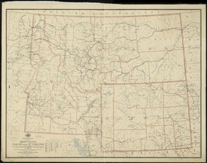
Post route map of the states of Montana, Idaho and Wyoming with adjacent parts of N. & S. Dakota, Nebraska, Colorado, Utah,...
6939.
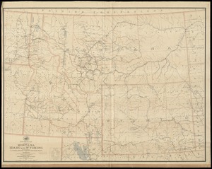
Post route map of the states of Montana, Idaho and Wyoming with adjacent parts of N. & S. Dakota, Nebraska, Colorado, Utah,...
6940.
Post route map of the states of New Hampshire, Vermont showing post offices with the intermediate distances on mail routes in...
‹ Prev
Next ›
1
2
…
343
344
345
346
347
348
349
350
351
…
440
441