Toggle navigation
LMEC Home
Exhibitions
Georeferencing
Tools for Teachers
Collections
My Favorites
Sign Up / Log In
Search
Search the map portal
Map Collection
Map Collection
Map Sets
Search
Search
Search for
Search In
All Fields
Creator
Title
Subject
Place
Search All Digital Collections
Advanced Search
9125 Results
My Search
Start Over
More Like
commonwealth:3t948787x
Remove constraint More Like: commonwealth:3t948787x
Filter your Search
Place
North and Central America
6,356
United States
5,272
Massachusetts
2,194
Suffolk (county)
1,471
Boston
1,444
Europe
1,396
Canada
449
Asia
438
more
Place
»
Topic
Boston (Mass.)--Maps
752
City planning--Massachusetts--Boston--Maps
418
United States--Maps
282
Urban renewal--Massachusetts--Boston--Maps
253
Real property--Massachusetts--Boston--Maps
226
Massachusetts--Maps
166
Landowners--Massachusetts--Boston--Maps
144
New England--Maps
104
more
Topic
»
Date
Date range begin
–
Date range end
Current results range from
1482
to
2023
View distribution
Creator
United States. Hydrographic Office
595
Boston Redevelopment Authority
398
O.H. Bailey & Co
148
Des Barres, Joseph F. W. (Joseph Frederick Wallet), 1722-1824
124
United States. Post Office Dept
120
Ptolemy, 2nd cent
100
Walling, Henry Francis, 1825-1888
94
Geological Survey (U.S.)
87
more
Creator
»
Format
Maps/Atlases
9,065
Manuscripts
215
Prints
56
Books
36
Objects/Artifacts
10
Drawings/Illustrations
8
Posters
5
Georeferenced
Yes
885
No
8,240
Collection
Norman B. Leventhal Map & Education Center Collection
8,723
Boston and New England Maps
2,621
Urban Maps
2,403
Maritime Charts and Atlases
1,083
American Revolutionary War-Era Maps
638
Boston Redevelopment Authority Collection
454
Mapping Boston Collection
20
Massachusetts Real Estate Atlases
12
more
Collection
»
Available to use
No known restrictions
8,928
Creative Commons license
70
Search Constraints
Sort by relevance
relevance
title
date (asc)
date (desc)
Number of results to display per page
20 per page
10
per page
20
per page
50
per page
100
per page
View results as:
grid view
map view
Search Results
101.
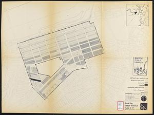
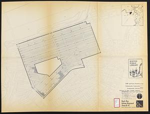
Back Bay urban renewal area r-47 : existing circulation
102.
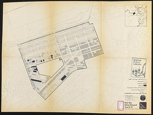
Back Bay urban renewal area r-47 : proposed land use
103.
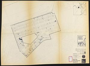
Back Bay urban renewal area r-47 : existing land use
104.
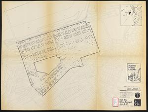
Back Bay urban renewal area r-47 : building conditions
105.
Back Bay urban renewal area r-47 : existing population density
106.
Back Bay urban renewal area r-47 : proposed treatment and title 1 projects
107.
Back Bay urban renewal area r-47 : existing and proposed community facilities
108.
Campus High School urban renewal area, Mass. r- : land disposition map
109.
Campus High School urban renewal area Mass. r- : existing land use
110.
Campus High School urban renewal area Mass. r- : building conditions
111.
Campus High School urban renewal area Mass. r-129 : proposed land-use
112.
Campus High School urban renewal area Mass. r-129 : property map
113.
Campus High School urban renewal area Mass. r-129 : disposition parcels
114.
Campus High School urban renewal area Mass. r-129 : existing land-use
115.
Campus High School urban renewal area Mass. r-129 : existing and proposed zoning
116.
Charlestown project no. Mass r-42 (GN) : existing circulation
117.
Charlestown project no. Mass r-42 (GN) : existing zoning
118.
Charlestown project no. Mass r-42 (GN) : generalized building conditions
119.
Charlestown project no. Mass r-42 (GN) : proposed treatment areas and project boundaries
120.
Charlestown project no. Mass r-42 (GN) : population distribution
‹ Prev
Next ›
1
2
3
4
5
6
7
8
9
10
…
456
457