Toggle navigation
LMEC Home
Exhibitions
Georeferencing
Tools for Teachers
Collections
My Favorites
Sign Up / Log In
Search
Search the map portal
Map Collection
Map Collection
Map Sets
Search
Search
Search for
Search In
All Fields
Creator
Title
Subject
Place
Search All Digital Collections
Advanced Search
8889 Results
My Search
Start Over
More Like
commonwealth:3f4637074
Remove constraint More Like: commonwealth:3f4637074
Filter your Search
Place
North and Central America
6,120
United States
5,036
Massachusetts
2,135
Europe
1,396
Suffolk (county)
1,235
Boston
1,208
Canada
449
Asia
438
more
Place
»
Topic
Boston (Mass.)--Maps
752
United States--Maps
282
Real property--Massachusetts--Boston--Maps
223
Landowners--Massachusetts--Boston--Maps
169
Massachusetts--Maps
166
City planning--Massachusetts--Boston--Maps
159
New England--Maps
104
North America--Maps--Early works to 1800
103
more
Topic
»
Date
Date range begin
–
Date range end
Current results range from
1482
to
2023
View distribution
Creator
United States. Hydrographic Office
595
Boston Redevelopment Authority
163
O.H. Bailey & Co
148
Des Barres, Joseph F. W. (Joseph Frederick Wallet), 1722-1824
124
United States. Post Office Dept
120
Ptolemy, 2nd cent
100
Walling, Henry Francis, 1825-1888
94
Geological Survey (U.S.)
87
more
Creator
»
Format
Maps/Atlases
8,829
Manuscripts
215
Prints
56
Books
36
Objects/Artifacts
10
Drawings/Illustrations
8
Posters
5
Georeferenced
Yes
885
No
8,004
Collection
Norman B. Leventhal Map & Education Center Collection
8,723
Boston and New England Maps
2,359
Urban Maps
2,143
Maritime Charts and Atlases
1,083
American Revolutionary War-Era Maps
638
Boston Redevelopment Authority Collection
193
Massachusetts Real Estate Atlases
38
Mapping Boston Collection
20
more
Collection
»
Available to use
No known restrictions
8,666
Creative Commons license
70
Search Constraints
Sort by relevance
relevance
title
date (asc)
date (desc)
Number of results to display per page
20 per page
10
per page
20
per page
50
per page
100
per page
View results as:
grid view
map view
Search Results
3561.
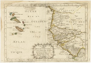
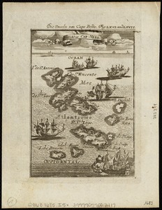
Isles de Cap Verd coste, et pays des Negres
3562.
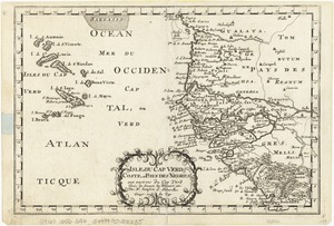
Isles de Cap Verd coste, et pays des Negres
3563.
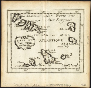
Isles du Cap Verd
3564.
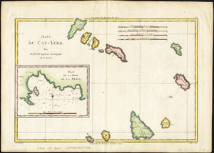
Isles du Cap-Verd
3565.
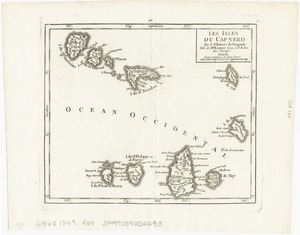
Les Isles du Cap-Verd
3566.
Isles Du Cap-Verd = Die Inseln von Capo Verde
3567.
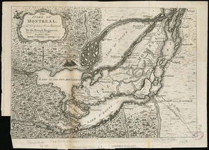
The Isles of Montreal as they have been survey'd by the French engineers
3568.
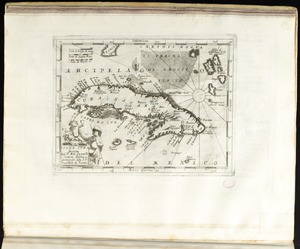
Isola Cuba
3569.
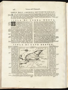
Isola di Capo Breton
3570.
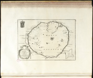
Isola di Maria Galante nelle Antilli, posseduta da S. M. Cristianissima in G. 15 M. 40 sett
3571.
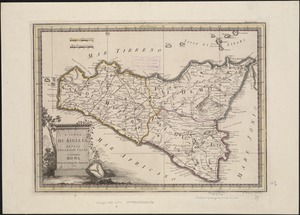
L' Isola di Sicilia divisa nelle sue valli
3572.
Isola e citta di Cartagena nell' America
3573.
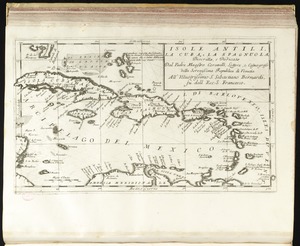
Isole Antili, la Cuba, la Spagnuola
3574.
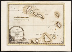
Le Isole di Capo Verde : delineate sulle ultime osservvazioni
3575.
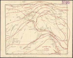
Isothermal lines of Alaska
3576.
The isthmus of Nova Scotia
3577.
The Isthmus of Panama with the coast from Great River on the Moskito shore to Cartagena
3578.
[Isthmus of Tehuantepec, Mexico]
3579.
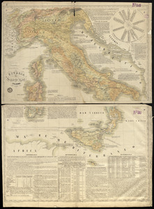
L'Italia
3580.
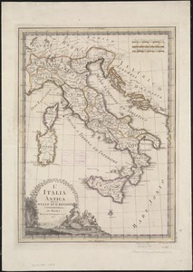
L'Italia antica divisa nelle sue regioni
‹ Prev
Next ›
1
2
…
175
176
177
178
179
180
181
182
183
…
444
445
![[Isthmus of Tehuantepec, Mexico]](https://bpldcassets.blob.core.windows.net/derivatives/images/commonwealth:4m90fj46g/image_thumbnail_300.jpg)