Toggle navigation
LMEC Home
Exhibitions
Georeferencing
Tools for Teachers
Collections
My Favorites
Sign Up / Log In
Search
Search the map portal
Map Collection
Map Collection
Map Sets
Search
Search
Search for
Search In
All Fields
Creator
Title
Subject
Place
Search All Digital Collections
Advanced Search
8889 Results
My Search
Start Over
More Like
commonwealth:3f463695j
Remove constraint More Like: commonwealth:3f463695j
Filter your Search
Place
North and Central America
6,120
United States
5,036
Massachusetts
2,135
Europe
1,396
Suffolk (county)
1,235
Boston
1,208
Canada
449
Asia
438
more
Place
»
Topic
Boston (Mass.)--Maps
752
United States--Maps
282
Real property--Massachusetts--Boston--Maps
223
Landowners--Massachusetts--Boston--Maps
169
Massachusetts--Maps
166
City planning--Massachusetts--Boston--Maps
159
New England--Maps
104
North America--Maps--Early works to 1800
103
more
Topic
»
Date
Date range begin
–
Date range end
Current results range from
1482
to
2023
View distribution
Creator
United States. Hydrographic Office
595
Boston Redevelopment Authority
163
O.H. Bailey & Co
148
Des Barres, Joseph F. W. (Joseph Frederick Wallet), 1722-1824
124
United States. Post Office Dept
120
Ptolemy, 2nd cent
100
Walling, Henry Francis, 1825-1888
94
Geological Survey (U.S.)
87
more
Creator
»
Format
Maps/Atlases
8,829
Manuscripts
215
Prints
56
Books
36
Objects/Artifacts
10
Drawings/Illustrations
8
Posters
5
Georeferenced
Yes
885
No
8,004
Collection
Norman B. Leventhal Map & Education Center Collection
8,723
Boston and New England Maps
2,359
Urban Maps
2,143
Maritime Charts and Atlases
1,083
American Revolutionary War-Era Maps
638
Boston Redevelopment Authority Collection
193
Massachusetts Real Estate Atlases
38
Mapping Boston Collection
20
more
Collection
»
Available to use
No known restrictions
8,666
Creative Commons license
70
Search Constraints
Sort by relevance
relevance
title
date (asc)
date (desc)
Number of results to display per page
20 per page
10
per page
20
per page
50
per page
100
per page
View results as:
grid view
map view
Search Results
501.
Panoramic view of Boston centered on the Prudential Tower
502.
Panoramic view of Boston showing golden semicircle
503.
Percent foreign-born
504.
Peremptory sale : this valuable property will positively be sold at public auction on Saturday the 29th day of April current at...
505.
Pianta della città di Boston
506.
Plan and profiles of surveys from Farm Pond in Framingham and Long Pond in Natick, for supplying water to the City of Boston
507.
A plan for the Central Artery
508.
Plan for the diversion and enclosure of Stony Brook : to accompany report of W.H. Bradley, November 1864
509.
Plan for the occupation of flats owned by the Commonwealth in Boston Harbor
510.
A plan of 8 lots of city land known as the Arsenal Lot : and 7 lots fronting on Providence St. to be sold at auction, on...
511.
Plan of a portion of the properties of the Long Wharf or Boston Pier & Central Wharf & Wet Dock Corporatins, showing sixteen...
512.
Plan of Back Bay and vicinity : prepared from surveys made under the direction of Simon Greenleaf, Joel Giles, Ezra Lincoln,...
513.
Plan of Boston
514.
Plan of Boston
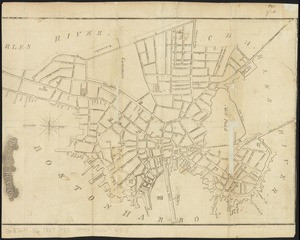
515.
Plan of Boston
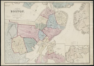
516.
Plan of Boston
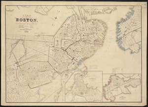
517.
Plan of Boston
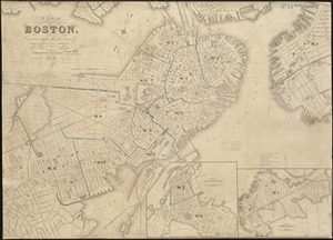
518.
Plan of Boston
519.
Plan of Boston
520.
Plan of Boston
‹ Prev
Next ›
1
2
…
22
23
24
25
26
27
28
29
30
…
444
445