Toggle navigation
LMEC Home
Exhibitions
Georeferencing
Tools for Teachers
Collections
My Favorites
Sign Up / Log In
Search
Search the map portal
Map Collection
Map Collection
Map Sets
Search
Search
Search for
Search In
All Fields
Creator
Title
Subject
Place
Search All Digital Collections
Advanced Search
8652 Results
My Search
Start Over
More Like
commonwealth:3f463233q
Remove constraint More Like: commonwealth:3f463233q
Filter your Search
Place
North and Central America
5,891
United States
4,810
Massachusetts
2,069
Europe
1,392
Suffolk (county)
1,041
Boston
1,014
Canada
449
Asia
437
more
Place
»
Topic
Boston (Mass.)--Maps
582
United States--Maps
279
Real property--Massachusetts--Boston--Maps
175
Massachusetts--Maps
161
Landowners--Massachusetts--Boston--Maps
133
North America--Maps--Early works to 1800
103
New England--Maps
101
Europe--Maps
79
more
Topic
»
Date
Date range begin
–
Date range end
Current results range from
1482
to
2023
View distribution
Creator
United States. Hydrographic Office
595
O.H. Bailey & Co
148
Des Barres, Joseph F. W. (Joseph Frederick Wallet), 1722-1824
123
United States. Post Office Dept
120
Ptolemy, 2nd cent
100
Walling, Henry Francis, 1825-1888
94
Geological Survey (U.S.)
86
Jefferys, Thomas, -1771
85
more
Creator
»
Format
Maps/Atlases
8,592
Manuscripts
215
Prints
56
Books
36
Objects/Artifacts
10
Drawings/Illustrations
8
Posters
5
Georeferenced
Yes
868
No
7,784
Collection
Norman B. Leventhal Map & Education Center Collection
8,648
Boston and New England Maps
2,222
Urban Maps
1,993
Maritime Charts and Atlases
1,083
American Revolutionary War-Era Maps
615
Boston Redevelopment Authority Collection
87
Massachusetts Real Estate Atlases
4
Applied Geographics, Inc. Records
2
Available to use
No known restrictions
8,506
Creative Commons license
47
Search Constraints
Sort by relevance
relevance
title
date (asc)
date (desc)
Number of results to display per page
20 per page
10
per page
20
per page
50
per page
100
per page
View results as:
grid view
map view
Search Results
1.
Atlas of the city of Newton, Massachusetts : from actual surveys and official plans
2.
Atlas of the city of Newton, Massachusetts : from actual surveys and official plans
3.
Atlas of the city of Newton, Massachusetts
4.
Atlas of the city of Newton, Massachusetts : compiled from actual surveys and records
5.
Atlas of the city of Newton, Middlesex Co., Massachusetts : from actual survey, official records & private plans
6.
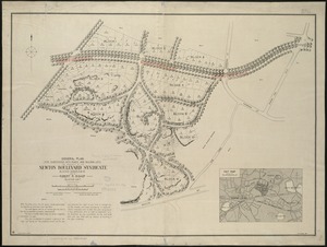
General plan for subdividing into roads and building lots, the property of the Newton Boulevard Syndicate, blocks 1, 2, 3, 4,...
7.
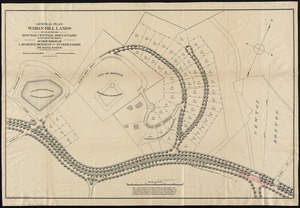
General plan Waban Hill lands on and near Newton Central Boulevard (eastern division) : subdivision of Lawrence, Bennett and...
8.
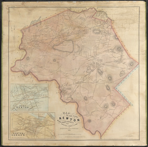
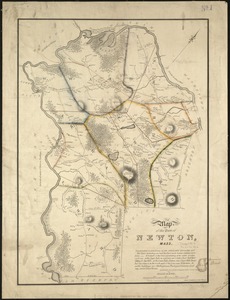
Map of the town of Newton, Mass
9.
Plan of Briggs Place, in Newton
10.
Plan of house lots at Newton Corner near the residence of Dr. Hitchcock, lately belonging to W.S. Tuckerman
11.
Plan of house lots in West Newton, belonging to Chester Judson, to be sold by public auction, on Thursday August 12th at 4...
12.
Plan of land belonging to William Kenrick : near the depot of Newton Corner
13.
Plan of land in Newton, 6th ward : being a portion of the estate of J. Willey [sic]Edmands, decd. ... to be sold by...
14.
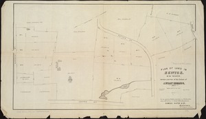
Plan of lots to be sold at auction in West New[ton] on Friday, September 23d, 1853, at 3 o'clock, p.m : by the foot & by the acre
15.
Plan of Woodland Vale, in Newton, belonging to Wm. Kenrick
16.
Atlas of the city of Newton, Massachusetts
17.
Atlas of the city of Newton, Massachusetts
18.
Atlas of the city of Newton, Massachusetts
19.
Atlas of the city of Newton, Middlesex Co., Massachusetts
20.
Map of the town of Newton, Middlesex County, Mass.
‹ Prev
Next ›
1
2
3
4
5
…
432
433


![Plan of lots to be sold at auction in West New[ton] on Friday, September 23d, 1853, at 3 o'clock, p.m](https://bpldcassets.blob.core.windows.net/derivatives/images/commonwealth:x059c971d/image_thumbnail_300.jpg)