Toggle navigation
LMEC Home
Exhibitions
Georeferencing
Tools for Teachers
Collections
My Favorites
Sign Up / Log In
Search
Search the map portal
Map Collection
Map Collection
Map Sets
Search
Search
Search for
Search In
All Fields
Creator
Title
Subject
Place
Search All Digital Collections
Advanced Search
429 Results
My Search
Start Over
More Like
commonwealth:2v242c61w
Remove constraint More Like: commonwealth:2v242c61w
Filter your Search
Place
North and Central America
380
United States
242
North America
69
Canada
62
New York
49
Pennsylvania
43
New Jersey
20
Asia
17
more
Place
»
Topic
North America--Maps--Early works to 1800
60
United States--Maps--Early works to 1800
43
Canada--Maps--Early works to 1800
38
Pennsylvania--Maps--Early works to 1800
37
New York (State)--Maps--Early works to 1800
34
New Jersey--Maps--Early works to 1800
17
Northeastern States--Maps--Early works to 1800
16
New England--Maps--Early works to 1800
14
more
Topic
»
Date
Date range begin
–
Date range end
Current results range from
1623
to
1999
View distribution
Creator
Jefferys, Thomas, -1771
22
Faden, William, 1749-1836
17
Bellin, Jacques Nicolas, 1703-1772
16
Robert Sayer and John Bennett (Firm)
15
Gibson, J. (John), active 1750-1792
14
Carleton, Osgood, 1742-1816
13
Sayer, Robert, 1725-1794
13
Kitchin, Thomas, 1719-1784
11
more
Creator
»
Format
Maps/Atlases
427
Manuscripts
5
Paintings
3
Ephemera
1
Objects/Artifacts
1
Prints
1
Georeferenced
Yes
4
No
425
Collection
MacLean Collection Map Library
379
American Revolutionary War-Era Maps
371
Norman B. Leventhal Map & Education Center Collection
25
New York Public Library Collection
12
Richard H. Brown Revolutionary War Map Collection at Mount Vernon
8
British Library Collection
2
Mapping Boston Collection
2
Sidney R. Knafel Map Collection at Phillips Academy
2
more
Collection
»
Available to use
Creative Commons license
24
No known restrictions
23
Search Constraints
Sort by relevance
relevance
title
date (asc)
date (desc)
Number of results to display per page
20 per page
10
per page
20
per page
50
per page
100
per page
View results as:
grid view
map view
Search Results
21.
The provinces of New York, and New Jersey; with part of Pensilvania, and the governments of Trois Rivieres, and Montreal
22.
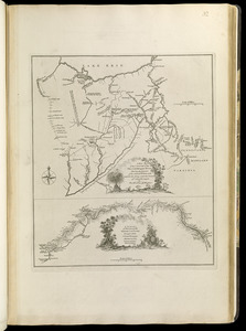
[A map of part of Pennsylvania & Maryland intended to shew, at one view, the several places proposed for opening a...
23.
Carte de la Pensylvanie et du Nouveau Jersey
24.
Carte des environs du Fort Pitt et de la nouvelle province Indiana : dediée a M. Franklin
25.
[Environs of Philadelphia]
26.
An exact map of New Jersey, Pensylvania [sic], New York, Maryland & Virginia, from the latest surveys
27.
A map exhibiting a general view of the roads and inland navigation of Pennsylvania, and part of the adjacent states :...
28.
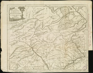
A map of Pennsylvania exhibiting not only the improved parts of that Province, but also its extensive frontiers : laid down...
29.
A map of the country between Will's Creek & Monongahela River shewing the rout and encampments of the English army in 1755
30.
A map of the country between Will's Creek & Monongahela River shewing the rout and encampments of the English army in 1755
31.
A map of the country on the Ohio and Muskingum Rivers : shewing the situation of the Indian towns with respect to the army...
32.
A map of the state of Pennsylvania
33.
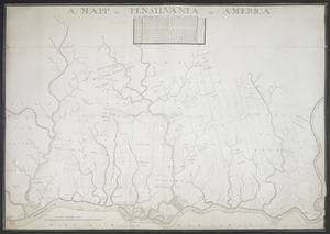
A MAPP OF PENSYLVANIA IN AMERICA
34.
A mapp of ye improved part of Pensilvania in America, divided into countyes, townships, and lotts
35.
A new and accurate map of the province of Pennsylvania in North America, from the best authorities
36.
A New and accurate map of Virginia : and part of Maryland and Pennsylvania
37.
A new map of Virginia, Mary-land and the improved parts of Penn-sylvania & New Jersey
38.
A plan of the city and environs of Philadelphia
39.
PLAN OF THE PENINSULA OF CHESOPEAK BAY
40.
Seat of war in the environs of Philadeliphia
‹ Prev
Next ›
1
2
3
4
5
6
…
21
22
![[A map of part of Pennsylvania & Maryland intended to shew, at one view, the several places proposed for opening a communication between the waters of the Delaware & Chesopeak Bays]](https://bpldcassets.blob.core.windows.net/derivatives/images/commonwealth:z603vt12v/image_thumbnail_300.jpg)


![[Environs of Philadelphia]](https://bpldcassets.blob.core.windows.net/derivatives/images/commonwealth:7h149x76d/image_thumbnail_300.jpg)
![An exact map of New Jersey, Pensylvania [sic], New York, Maryland & Virginia, from the latest surveys](https://bpldcassets.blob.core.windows.net/derivatives/images/commonwealth:z603vp67m/image_thumbnail_300.jpg)