Toggle navigation
LMEC Home
Exhibitions
Georeferencing
Tools for Teachers
Collections
My Favorites
Sign Up / Log In
Search
Search the map portal
Map Collection
Map Collection
Map Sets
Search
Search
Search for
Search In
All Fields
Creator
Title
Subject
Place
Search All Digital Collections
Advanced Search
8931 Results
My Search
Start Over
More Like
commonwealth:1257c311p
Remove constraint More Like: commonwealth:1257c311p
Filter your Search
Place
North and Central America
6,162
United States
5,078
Massachusetts
2,150
Europe
1,396
Suffolk (county)
1,277
Boston
1,250
Canada
449
Asia
438
more
Place
»
Topic
Boston (Mass.)--Maps
753
United States--Maps
282
Real property--Massachusetts--Boston--Maps
254
City planning--Massachusetts--Boston--Maps
196
Landowners--Massachusetts--Boston--Maps
170
Massachusetts--Maps
166
New England--Maps
104
North America--Maps--Early works to 1800
103
more
Topic
»
Date
Date range begin
–
Date range end
Current results range from
1482
to
2023
View distribution
Creator
United States. Hydrographic Office
595
Boston Redevelopment Authority
202
O.H. Bailey & Co
148
Des Barres, Joseph F. W. (Joseph Frederick Wallet), 1722-1824
124
United States. Post Office Dept
120
Ptolemy, 2nd cent
100
Walling, Henry Francis, 1825-1888
94
Geological Survey (U.S.)
87
more
Creator
»
Format
Maps/Atlases
8,871
Manuscripts
215
Prints
56
Books
36
Objects/Artifacts
10
Drawings/Illustrations
8
Posters
5
Georeferenced
Yes
885
No
8,046
Collection
Norman B. Leventhal Map & Education Center Collection
8,725
Boston and New England Maps
2,401
Urban Maps
2,185
Maritime Charts and Atlases
1,083
American Revolutionary War-Era Maps
638
Boston Redevelopment Authority Collection
233
Massachusetts Real Estate Atlases
38
Mapping Boston Collection
20
more
Collection
»
Available to use
No known restrictions
8,708
Creative Commons license
70
Search Constraints
Sort by relevance
relevance
title
date (asc)
date (desc)
Number of results to display per page
20 per page
10
per page
20
per page
50
per page
100
per page
View results as:
grid view
map view
Search Results
4921.
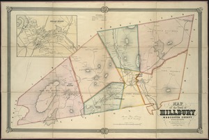
Map of the town of Millbury : Worcester County Massachusetts
4922.
Map of the town of Morris : Morris County New Jersey
4923.
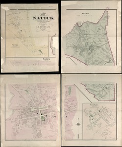
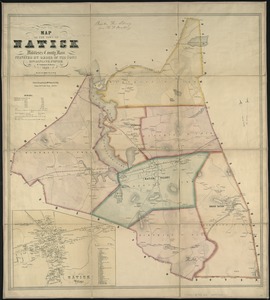
Map of the town of Natick Middlesex Co. Mass : from actual surveys
4924.
Map of the town of Natick, Middlesex County, Mass : surveyed by order of the town
4925.
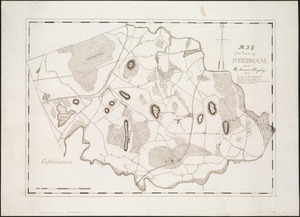
Map of the town of Needham, Mass
4926.
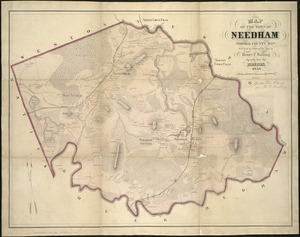
Map of the town of Needham, Norfolk County, Mass : surveyed by order of the town
4927.
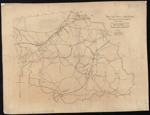
Map of the town of Needham, showing the dwelling houses
4928.
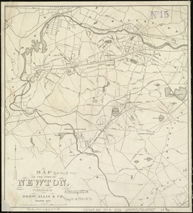
Map of the town of Newton
4929.
Map of the town of Newton, Mass
4930.
Map of the town of Newton, Middlesex County, Mass.
4931.
Map of the town of North Bridgewater : Plymouth County Mass., surveyed by order of the town
4932.
Map of the town of Northbridge : from actual survey
4933.
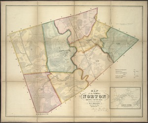
Map of the town of Norton, Bristol County, Mass : surveyed by order of the town
4934.
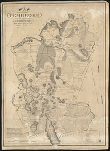
Map of the town of Pembroke in the county of Plymouth : from survey made in 1831
4935.
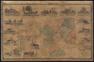
Map of the town of Petersham, Worcester County, Massachusetts : from actual survey by E. M. Woodford
4936.
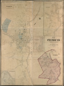
Map of the town of Plymouth : Plymouth Co. Mass. : from actual surveys
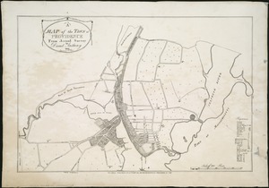
4937.
A map of the town of Providence from actual survey
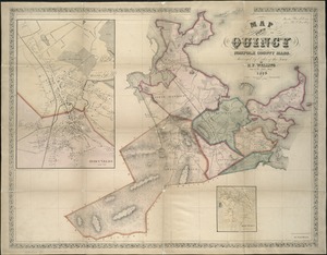
4938.
Map of the town of Quincy, Norfolk County, Mass : surveyed by order of the town
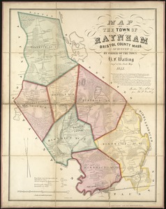
4939.
Map of the town of Raynham, Bristol County, Mass : surveyed by order of the town
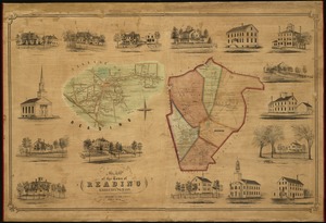
4940.
Map of the town of Reading : Middlesex Co. Mass
‹ Prev
Next ›
1
2
…
243
244
245
246
247
248
249
250
251
…
446
447