Toggle navigation
LMEC Home
Exhibitions
Georeferencing
Tools for Teachers
Collections
My Favorites
Sign Up / Log In
Search
Search the map portal
Map Collection
Map Collection
Map Sets
Search
Search
Search for
Search In
All Fields
Creator
Title
Subject
Place
Search All Digital Collections
Advanced Search
8671 Results
My Search
Start Over
More Like
commonwealth:0z7095075
Remove constraint More Like: commonwealth:0z7095075
Filter your Search
Place
North and Central America
5,908
United States
4,825
Massachusetts
2,068
Europe
1,392
Suffolk (county)
1,042
Boston
1,014
Canada
450
Asia
436
more
Place
»
Topic
Boston (Mass.)--Maps
582
United States--Maps
279
Real property--Massachusetts--Boston--Maps
175
Massachusetts--Maps
161
Landowners--Massachusetts--Boston--Maps
133
North America--Maps--Early works to 1800
102
New England--Maps
101
Manuscript maps
84
more
Topic
»
Date
Date range begin
–
Date range end
Current results range from
1482
to
2023
View distribution
Creator
United States. Hydrographic Office
595
O.H. Bailey & Co
148
Des Barres, Joseph F. W. (Joseph Frederick Wallet), 1722-1824
123
United States. Post Office Dept
120
Ptolemy, 2nd cent
100
Walling, Henry Francis, 1825-1888
94
Geological Survey (U.S.)
86
Jefferys, Thomas, -1771
85
more
Creator
»
Format
Maps/Atlases
8,611
Manuscripts
241
Prints
56
Books
36
Objects/Artifacts
10
Drawings/Illustrations
8
Posters
5
Georeferenced
Yes
869
No
7,802
Collection
Norman B. Leventhal Map & Education Center Collection
8,649
Boston and New England Maps
2,221
Urban Maps
1,991
Maritime Charts and Atlases
1,083
American Revolutionary War-Era Maps
638
Boston Redevelopment Authority Collection
87
Library of Congress Collection
22
Available to use
No known restrictions
8,504
Creative Commons license
72
Search Constraints
Sort by relevance
relevance
title
date (asc)
date (desc)
Number of results to display per page
20 per page
10
per page
20
per page
50
per page
100
per page
View results as:
grid view
map view
Search Results
5641.
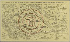
Official tourist map of Imperial County, California
5642.
Off-street parking inventory for the Boston regional core
5643.
Off-street parking inventory within Boston proper
5644.
Ohio and N.W. Territory
5645.
Ohio boundary no. 1 South Bend of Lake Michigan : map, exhibiting the position occupied in the determination of the latitude of...
5646.
Ohio boundary no. 1 South Bend of Lake Michigan : map, exhibiting the position occupied in the determination of the latitude of...
5647.
Ohio boundary no. 2 : map exhibiting the positions occupied on the Maumee Bay and river: viz: Turtle Island, the North Cape,...
5648.
Oil and gas fields of Pennsylvania
5649.
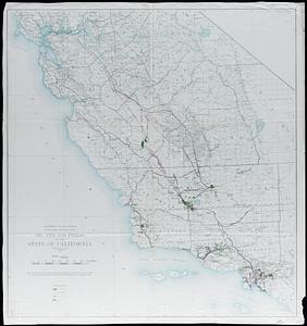
Oil and gas fields of the state of California
5650.
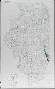
Oil and gas fields of the state of Illinois
5651.
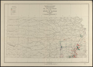
Oil and gas fields of the state of Kansas
5652.
Oil and gas fields of the state of Kentucky
5653.
Oil and gas fields of the state of Louisiana
5654.
Oil and gas fields of the state of Oklahoma
5655.
Oil and gas fields of the state of Texas
5656.
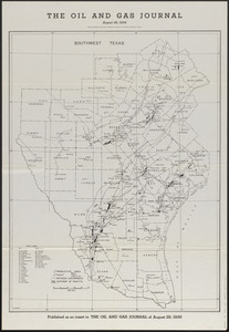
The oil and gas journal, August 29, 1935
5657.
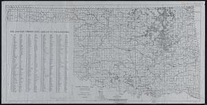
Oil and gas producing areas in Oklahoma
5658.
Oil City oil field, Fresno Co., California
5659.
Oil in America : a pictorial story of the petroleum industry in the United States
5660.
Old Boston, compiled from the Book of possessions
‹ Prev
Next ›
1
2
…
279
280
281
282
283
284
285
286
287
…
433
434