Toggle navigation
LMEC Home
Exhibitions
Georeferencing
Tools for Teachers
Collections
My Favorites
Sign Up / Log In
Search
Search the map portal
Map Collection
Map Collection
Map Sets
Search
Search
Search for
Search In
All Fields
Creator
Title
Subject
Place
Search All Digital Collections
Advanced Search
1 Results
My Search
Start Over
Topic
Boulogne-sur-Mer (France)--Maps--Early works to 1800
Remove constraint Topic: Boulogne-sur-Mer (France)--Maps--Early works to 1800
Filter your Search
Place
Boulogne
1
Europe
1
France
1
Hauts-de-France
1
Topic
Boulogne-sur-Mer (France)--Maps--Early works to 1800
[remove]
1
Catholic Church. Diocese of Boulogne-sur-Mer (France)--Maps--Early works to 1800
1
Date
1656
1
Creator
Sanson, Nicolas, 1600-1667
1
Format
Maps/Atlases
1
Georeferenced
No
1
Collection
Norman B. Leventhal Map & Education Center Collection
1
Available to use
No known restrictions
1
Search Constraints
Sort by relevance
relevance
title
date (asc)
date (desc)
Number of results to display per page
20 per page
10
per page
20
per page
50
per page
100
per page
View results as:
grid view
map view
Search Results
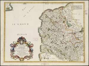
1.
Oromansaci, et Gesoriacus Pagus in Morinis : evesché de Boulogne ou sont les Comté et seneschaussée de Boulenois : Balliage...