Toggle navigation
LMEC Home
Exhibitions
Georeferencing
Tools for Teachers
Collections
My Favorites
Sign Up / Log In
Search
Search the map portal
Map Collection
Map Collection
Map Sets
Search
Search
Search for
Search In
All Fields
Creator
Title
Subject
Place
Search All Digital Collections
Advanced Search
6 Results
My Search
Start Over
More Like
commonwealth:fj23d716k
Remove constraint More Like: commonwealth:fj23d716k
Topic
Aeronautical charts--Texas
Remove constraint Topic: Aeronautical charts--Texas
Filter your Search
Place
North and Central America
6
Texas
6
United States
6
Harris (county)
2
Houston
2
Lubbock
2
Lubbock (county)
2
Lubbock Preston Smith International Airport
2
more
Place
»
Topic
Aeronautical charts--Texas
[remove]
6
Airports--Texas--Maps
6
Runways (Aeronautics)--Texas
4
Runways (Aeronautics)--Texas--Maps
2
Date
Date range begin
–
Date range end
Current results range from
1989
to
1994
1989 : 1995
1989
1995
1989
1990
1991
1992
1993
1994
1995
Creator
United States. National Ocean Service
6
Format
Maps/Atlases
6
Georeferenced
No
6
Collection
U.S. Government Documents Maps Collection
6
Available to use
No known restrictions
6
Search Constraints
Sort by relevance
relevance
title
date (asc)
date (desc)
Number of results to display per page
20 per page
10
per page
20
per page
50
per page
100
per page
View results as:
grid view
map view
Search Results
1.
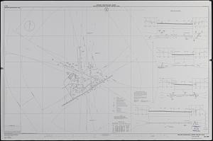
Airport obstruction chart : OC 198, William P. Hobby Airport, Houston, Texas
2.
Airport obstruction chart : OC 198, William P. Hobby Airport, Houston, Texas
3.
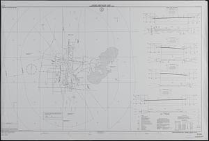
Airport obstruction chart : OC 258, Midland International Airport, Midland, Texas
4.
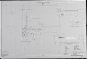
Airport obstruction chart : OC 226, Laredo International Airport, Laredo, Texas
5.
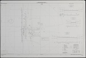
Airport obstruction chart : OC 241, Lubbock International Airport, Lubbock, Texas
6.
Airport obstruction chart : OC 241, Lubbock International Airport, Lubbock, Texas
+
-
Redo search here
Search when I move the map
Leaflet
| ©
OpenStreetMap
contributors, ©
CartoDB