Toggle navigation
LMEC Home
Exhibitions
Georeferencing
Tools for Teachers
Collections
My Favorites
Sign Up / Log In
Search
Search the map portal
Map Collection
Map Collection
Map Sets
Search
Search
Search for
Search In
All Fields
Creator
Title
Subject
Place
Search All Digital Collections
Advanced Search
8634 Results
My Search
Start Over
More Like
commonwealth:z890s303v
Remove constraint More Like: commonwealth:z890s303v
Format
Maps/Atlases
Remove constraint Format: Maps/Atlases
Filter your Search
Place
North and Central America
5,908
United States
4,827
Massachusetts
2,069
Europe
1,377
Suffolk (county)
1,040
Boston
1,013
Canada
449
Asia
437
more
Place
»
Topic
Boston (Mass.)--Maps
586
United States--Maps
280
Real property--Massachusetts--Boston--Maps
175
Massachusetts--Maps
161
Landowners--Massachusetts--Boston--Maps
133
North America--Maps--Early works to 1800
103
New England--Maps
102
Europe--Maps
78
more
Topic
»
Date
Date range begin
–
Date range end
Current results range from
1482
to
2023
1482 : 2024
1482
2024
View distribution
Creator
United States. Hydrographic Office
595
O.H. Bailey & Co
148
Des Barres, Joseph F. W. (Joseph Frederick Wallet), 1722-1824
123
United States. Post Office Dept
120
Ptolemy, 2nd cent
100
Walling, Henry Francis, 1825-1888
94
Geological Survey (U.S.)
86
Jefferys, Thomas, -1771
85
more
Creator
»
Format
Maps/Atlases
[remove]
8,634
Manuscripts
215
Books
34
Objects/Artifacts
9
Prints
6
Drawings/Illustrations
3
Posters
1
Georeferenced
Yes
869
No
7,765
Collection
Norman B. Leventhal Map & Education Center Collection
8,634
Boston and New England Maps
2,225
Urban Maps
2,018
Maritime Charts and Atlases
1,083
American Revolutionary War-Era Maps
616
Boston Redevelopment Authority Collection
83
Available to use
No known restrictions
8,492
Creative Commons license
47
Search Constraints
Sort by relevance
relevance
title
date (asc)
date (desc)
Number of results to display per page
20 per page
10
per page
20
per page
50
per page
100
per page
View results as:
grid view
map view
Search Results
1.
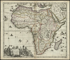
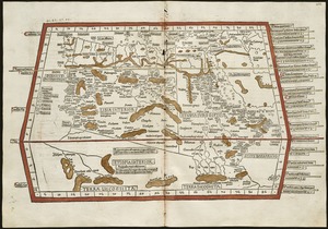
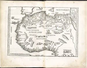
Africa
2.
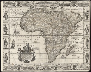
Africæ, described, the manners of their habits and buildings, newly done into English
3.
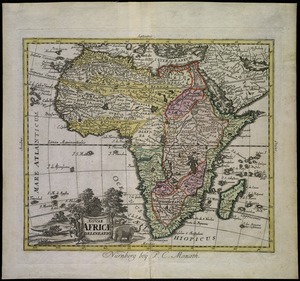
Africae nova descriptio
4.
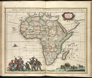
Africae nova tabula
5.
Africae tabula nova
6.
L'Afrique : dressée, sur les relations les plus recentes, et assujettie aux observations astronomiques
7.
Afrique
8.
L'Afrique : dressée sur les relations e nouvelles decouvertes de differens voyageurs, conformes aux observations astronomiques
9.
L'Afrique
10.
Carte de la Barbarie le la Nigritie et de la Guinée
11.
Karte Von Africa
12.
A new and correct map of the coast of Africa, from Sta. Cruz lat. 30 north. to the coast of Angola lat 11. S. with explanatory...
13.
A new map of Libya or old Africk shewing its general divisions, most remarkable countries or people, cities, townes, rivers,...
14.
A new mapp of Africa divided into kingdoms and provinces
15.
A new, plaine, & exact mapp of Africa : described by N.I. Visscher and done into English, enlarged and corrected, according to...
16.
Nouae Africae delineatio
17.
Nova Africa
18.
Quarta Africae tabula
19.
Quarta et Ultima Affrice tabula continet interiorem Libyã Ethyopiam q̄ sub Egypto ẽ & q̃ est interius cũ insulis ei...
20.
Tab. mo. primae partis Aphricae, et tabula secunde partis Aphricae
+
-
Redo search here
Search when I move the map
Leaflet
| ©
OpenStreetMap
contributors, ©
CartoDB
‹ Prev
Next ›
1
2
3
4
5
…
431
432