Toggle navigation
LMEC Home
Exhibitions
Georeferencing
Tools for Teachers
Collections
My Favorites
Sign Up / Log In
Search
Search the map portal
Map Collection
Map Collection
Map Sets
Search
Search
Search for
Search In
All Fields
Creator
Title
Subject
Place
Search All Digital Collections
Advanced Search
324 Results
My Search
Start Over
More Like
commonwealth:2227nm63n
Remove constraint More Like: commonwealth:2227nm63n
Collection
Town plans, 1830
Remove constraint Collection: Town plans, 1830
Filter your Search
Place
North and Central America
324
United States
324
Worcester (county)
60
Middlesex (county)
41
Berkshire (county)
32
Franklin (county)
30
Essex (county)
29
Massachusetts
25
more
Place
»
Date
Date range begin
–
Date range end
Current results range from
1827
to
1898
1827 : 1899
1827
1899
View distribution
Creator
Hales, John Groves
44
Anderson, Philander, 1810?-1853
10
Barber, Luke
10
Darling, E. S.
8
Leonard, Levi
6
Hoyt, Arthur W.
4
Blake, Jonathan, Jr.
3
Butler, Caleb
3
more
Creator
»
Format
Maps/Atlases
324
Georeferenced
No
324
Collection
Town plans, 1830
[remove]
324
Available to use
No known restrictions
324
Search Constraints
Sort by relevance
relevance
title
date (asc)
date (desc)
Number of results to display per page
20 per page
10
per page
20
per page
50
per page
100
per page
View results as:
grid view
map view
Search Results
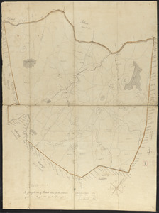
1.
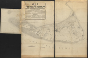
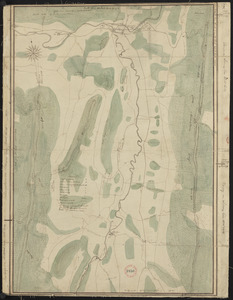
Map of Nantucket made by J. Prescott, dated 1831
2.
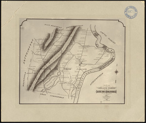
Photographic plan of Ireland (Third) Parish, Springfield, now city of Holyoke, showing residences and names of residents, made...
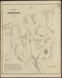
3.
Plan of Abington made by James Bates, dated 1830
4.
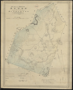
Plan of Acton made by John G. Hales, dated 1831
5.
Plan of Adams made by Thomas A. Brayton, dated June, 1831
6.
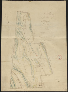
Plan of Alford made by B. H. Lewis, dated 1831
7.
Plan of Amesbury made by W. Nichols and J. S. Morse, dated 1831
8.
Plan of Amherst made by E. S. Darling dated August 1830
9.
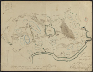
Plan of Andover made by Moses Dorman, Jr., dated 1830
10.
Plan of Arlington (West Cambridge) made by John G. Hales, dated August 1830
11.
Plan of Ashburnham, surveyor's name not given, dated October, 1830
12.
Plan of Ashby, surveyor's name not given, dated 1830
13.
Plan of Ashfield made by Levi Leonard, dated December 25, 1830
14.
Plan of Athol, surveyor's name not given, dated September 1830
15.
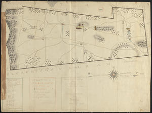
Plan of Attleborough made by Joseph W. Capron, dated March, 1831
16.
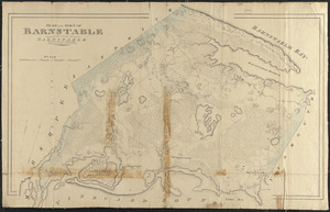
Plan of Barnstable made by John G. Hales, dated 1831
17.
Plan of Barre made by David Lee and Samuel Lee, dated June 1830
18.
Plan of Becket made by Luke Barber, dated October 26, 1831
19.
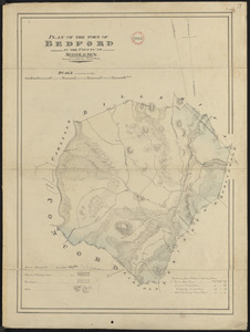
Plan of Bedford made by John G. Hales, dated 1830
20.
Plan of Belchertown made by Elias Bassett, dated November, 1830
+
-
Redo search here
Search when I move the map
Leaflet
| ©
OpenStreetMap
contributors, ©
CartoDB
‹ Prev
Next ›
1
2
3
4
5
…
16
17