Toggle navigation
LMEC Home
Exhibitions
Georeferencing
Tools for Teachers
Collections
My Favorites
Sign Up / Log In
Search
Search the map portal
Map Collection
Map Collection
Map Sets
Search
Search
Search for
Search In
All Fields
Creator
Title
Subject
Place
Search All Digital Collections
Advanced Search
1 Results
My Search
Start Over
More Like
commonwealth:z603vt78z
Remove constraint More Like: commonwealth:z603vt78z
Collection
Norman B. Leventhal Map & Education Center Collection
Remove constraint Collection: Norman B. Leventhal Map & Education Center Collection
Filter your Search
Place
Bay of Gibraltar
1
Europe
1
Gibraltar
1
Topic
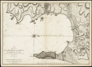
Gibraltar, Bay of (Spain)--Maps--Early works to 1800
1
Gibraltar--History--Siege, 1779-1783--Maps--Early works to 1800
1
Gibraltar--Maps--Early works to 1800
1
Date
1781
1
Creator
Faden, William, 1749-1836
1
Format
Maps/Atlases
1
Georeferenced
No
1
Collection
Norman B. Leventhal Map & Education Center Collection
[remove]
1
Available to use
No known restrictions
1
Search Constraints
Sort by relevance
relevance
title
date (asc)
date (desc)
Number of results to display per page
20 per page
10
per page
20
per page
50
per page
100
per page
View results as:
grid view
map view
Search Results
1.
Plan of the bay, rock and town of Gibraltar, from an actual survey by an officer who was at Gibraltar from 1769 to 1775