Toggle navigation
LMEC Home
Exhibitions
Georeferencing
Tools for Teachers
Collections
My Favorites
Sign Up / Log In
Search
Search the map portal
Map Collection
Map Collection
Map Sets
Search
Search
Search for
Search In
All Fields
Creator
Title
Subject
Place
Search All Digital Collections
Advanced Search
1 Results
My Search
Start Over
More Like
commonwealth:kk91fr08t
Remove constraint More Like: commonwealth:kk91fr08t
Collection
MacLean Collection Map Library
Remove constraint Collection: MacLean Collection Map Library
Filter your Search
Place
Amelia Island
1
Florida
1
Nassau (county)
1
North and Central America
1
United States
1
Topic
Amelia Island (Fla.)--Maps--Early works to 1800
1
Harbors--Florida--Amelia Island--Maps--Early works to 1800
1
Navigation--Florida--Amelia Island--Early works to 1800
1
Date
1779
1
Creator
Blamey, Jacob
1
France. Dépôt général de la marine
1
Format
Maps/Atlases
1
Georeferenced
No
1
Collection
American Revolutionary War-Era Maps
1
MacLean Collection Map Library
[remove]
1
Search Constraints
Sort by relevance
relevance
title
date (asc)
date (desc)
Number of results to display per page
20 per page
10
per page
20
per page
50
per page
100
per page
View results as:
grid view
map view
Search Results
1.
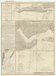
Plan de l'ile d'Amelia a la cote de la Floride orientale
+
-
Redo search here
Search when I move the map
Leaflet
| ©
OpenStreetMap
contributors, ©
CartoDB