Toggle navigation
LMEC Home
Exhibitions
Georeferencing
Tools for Teachers
Collections
My Favorites
Sign Up / Log In
Search
Search the map portal
Map Collection
Map Collection
Map Sets
Search
Search
Search for
Search In
All Fields
Creator
Title
Subject
Place
Search All Digital Collections
Advanced Search
13597 Results
Filter your Search
Place
North and Central America
10,263
United States
8,394
Massachusetts
2,784
Suffolk (county)
1,677
Boston
1,633
Europe
1,413
Canada
950
New York
646
more
Place
»
Topic
Boston (Mass.)--Maps
747
City planning--Massachusetts--Boston--Maps
418
United States--History--Revolution, 1775-1783--Maps
329
United States--Maps
321
Real property--Massachusetts--Boston--Maps
254
Urban renewal--Massachusetts--Boston--Maps
254
Massachusetts--Maps
231
Insurance surveys
197
more
Topic
»
Date
Date range begin
–
Date range end
Current results range from
1482
to
2023
View distribution
Creator
United States. Hydrographic Office
597
Boston Redevelopment Authority
404
Des Barres, Joseph F. W. (Joseph Frederick Wallet), 1722-1824
247
Royal United Services Institute for Defence and Security Studies
160
Jefferys, Thomas, -1771
154
George, III, King of Great Britain, 1738-1820
152
George, IV, King of Great Britain, 1762-1830
151
O.H. Bailey & Co
148
more
Creator
»
Format
Maps/Atlases
13,416
Manuscripts
985
Prints
102
Books
49
Drawings/Illustrations
44
Photographs
15
Objects/Artifacts
13
Documents
7
more
Format
»
Georeferenced
Yes
979
No
12,618
Collection
Norman B. Leventhal Map & Education Center Collection
9,088
American Revolutionary War-Era Maps
3,305
Boston and New England Maps
2,906
Urban Maps
2,465
Maritime Charts and Atlases
1,169
William L. Clements Library Collection
910
Library of Congress Collection
618
Boston Redevelopment Authority Collection
475
more
Collection
»
Available to use
No known restrictions
10,164
Creative Commons license
1,677
Search Constraints
Sort by relevance
relevance
title
date (asc)
date (desc)
Number of results to display per page
20 per page
10
per page
20
per page
50
per page
100
per page
View results as:
grid view
map view
Search Results
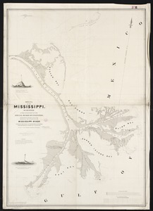
2841.
Delta of the Mississippi : surveyed at the suggestion of the Special Board of Engineers, appointed to devise a plan for...
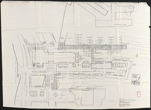
2842.
DEM/BRA Long Wharf master plan : schematic'
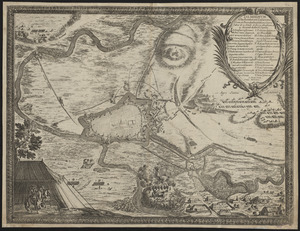
2843.
Demminvm a fœderatum Casareanorum, et Brandeburgentium exercitibus d. 15 Octob. A. 1659 obseßum et 4. Nouemb. deditione captum
2844.
Denmark
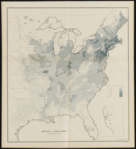
2845.
Density of population
2846.
Density of population, 1790
2847.
Density of population, 1800
2848.
Density of population, 1810
2849.
Density of population, 1820
2850.
Density of population, 1830
2851.
Density of population, 1840
2852.
Density of population, 1850
2853.
Density of population, 1860
2854.
Density of population, 1870
2855.
Density of population, 1880
2856.
Density of population, 1890
2857.
Density of population, 1900
2858.
Density of population, 1910
2859.
Density of population, 1920
2860.
Density of population in greater Tokyo - census of 1926
‹ Prev
Next ›
1
2
…
139
140
141
142
143
144
145
146
147
…
679
680