Toggle navigation
LMEC Home
Exhibitions
Georeferencing
Tools for Teachers
Collections
My Favorites
Sign Up / Log In
Search
Search the map portal
Map Collection
Map Collection
Map Sets
Search
Search
Search for
Search In
All Fields
Creator
Title
Subject
Place
Search All Digital Collections
Advanced Search
2511 Results
My Search
Start Over
boston atlas
Remove constraint boston atlas
Filter your Search
Place
North and Central America
1,373
United States
834
Europe
458
Massachusetts
349
South America
189
Asia
188
Canada
187
Suffolk (county)
161
more
Place
»
Topic
Landowners--Massachusetts--Boston--Maps
115
Real property--Massachusetts--Boston--Maps
106
United States--Maps
85
Boston (Mass.)--Maps
64
Nautical charts--Early works to 1800
39
Buildings--Massachusetts--Boston--Maps
34
Elections--United States--Maps
34
Nova Scotia--Maps--Early works to 1800
33
more
Topic
»
Date
Date range begin
–
Date range end
Current results range from
1482
to
2023
View distribution
Creator
United States. Hydrographic Office
583
Des Barres, Joseph F. W. (Joseph Frederick Wallet), 1722-1824
116
Ptolemy, 2nd cent
100
Bromley, George Washington
86
Bromley, Walter Scott
84
Carey, Mathew, 1760-1839
72
Paullin, Charles Oscar, 1868 or 1869-1944
70
United States Exploring Expedition (1838-1842)
70
more
Creator
»
Format
Maps/Atlases
2,502
Books
34
Manuscripts
13
Prints
8
Drawings/Illustrations
1
Georeferenced
Yes
133
No
2,378
Collection
Norman B. Leventhal Map & Education Center Collection
2,410
Maritime Charts and Atlases
1,129
Boston and New England Maps
382
American Revolutionary War-Era Maps
285
Urban Maps
255
Massachusetts Real Estate Atlases
72
Mapping Boston Collection
61
Applied Geographics, Inc. Records
23
more
Collection
»
Available to use
No known restrictions
2,277
Creative Commons license
73
Search Constraints
Sort by relevance
relevance
title
date (asc)
date (desc)
Number of results to display per page
20 per page
10
per page
20
per page
50
per page
100
per page
View results as:
grid view
map view
Search Results
2301.
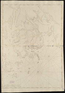
Coast of New Hampshire and Massachusetts from Great Boars Head to Marblehead Harbor
2302.
Coast of New Hampshire and Massachusetts from Great Boars Head to Marblehead Harbor
2303.
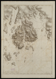
Mount Desert Island and neighboring coast of Maine
2304.
Mount Desert Island and neighboring coast of Maine
2305.
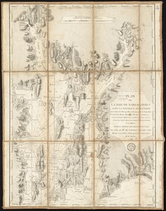
Plan de la baie de Narraganset dans la Nouvelle Angleterre : avec toutes les îles qu'elle renferme parmi lesquelles se...
2306.
Vereinigte Staaten von Nord-Amerika in 6 blattern, bl. 3
2307.
Aegyptus Antiqua
2308.
An accurate map of North America : describing and distinguishing the British and Spanish dominions of this great continent;...
2309.
Arragonia regnum
2310.
Carta noua accurata del passagio et strada dalli Paesi Bassi per via de Allemagna per Italia et per via di Paesi Suizeri à...
2311.
Chili
2312.
Comitatus Darbiensis
2313.
Comitatus Northumbria vernacule Northumber Land
2314.
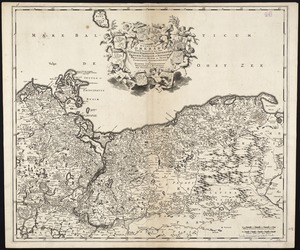
Ducatus Pomeraniae tabula generalis, in qua sunt Ducatus Pomeraniae, Stettinensis, Cassubiae, Vandaliae, et Bardensis,...
2315.
Duodecima Asiae tabula
2316.
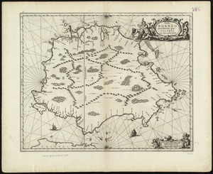
Insula Borneo et occidentalis pars Celebris, cum adjacentibus insulis
2317.
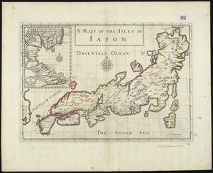
A mapp of the Isles of Iapon
2318.
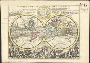
A new map of the whole world with the trade winds according to ye latest and most exact observations
2319.
Nobmo. prudmoq[ue] viro Joanni Six Wimnae Toparchae, Vronmadae Domino, Consuli et Senatori Amstelaedamensi, hanc novissimam...
2320.
Peru
‹ Prev
Next ›
1
2
…
112
113
114
115
116
117
118
119
120
…
125
126


![Carta noua accurata del passagio et strada dalli Paesi Bassi per via de Allemagna per Italia et per via di Paesi Suizeri à Geneua, Lione et Roma per seruizio delli marchanti et viagianti in gen[er]ale ad instanza delli Ss. Scherer et di Momforti speditori delli marchantie in Bregens](https://bpldcassets.blob.core.windows.net/derivatives/images/commonwealth:cj82kw988/image_thumbnail_300.jpg)


![Nobmo. prudmoq[ue] viro Joanni Six Wimnae Toparchae, Vronmadae Domino, Consuli et Senatori Amstelaedamensi, hanc novissimam Britanniae, olim Armoricae tabulam](https://bpldcassets.blob.core.windows.net/derivatives/images/commonwealth:cj82ks229/image_thumbnail_300.jpg)
