Toggle navigation
LMEC Home
Exhibitions
Georeferencing
Tools for Teachers
Collections
My Favorites
Sign Up / Log In
Search
Search the map portal
Map Collection
Map Collection
Map Sets
Search
Search
Search for
Search In
All Fields
Creator
Title
Subject
Place
Search All Digital Collections
Advanced Search
13567 Results
Filter your Search
Place
North and Central America
10,249
United States
8,381
Massachusetts
2,783
Suffolk (county)
1,677
Boston
1,633
Europe
1,412
Canada
950
New York
644
more
Place
»
Topic
Boston (Mass.)--Maps
747
City planning--Massachusetts--Boston--Maps
418
United States--History--Revolution, 1775-1783--Maps
329
United States--Maps
321
Real property--Massachusetts--Boston--Maps
254
Urban renewal--Massachusetts--Boston--Maps
254
Massachusetts--Maps
231
Insurance surveys
197
more
Topic
»
Date
Date range begin
–
Date range end
Current results range from
1482
to
2023
View distribution
Creator
United States. Hydrographic Office
596
Boston Redevelopment Authority
404
Des Barres, Joseph F. W. (Joseph Frederick Wallet), 1722-1824
247
Royal United Services Institute for Defence and Security Studies
160
Jefferys, Thomas, -1771
154
George, III, King of Great Britain, 1738-1820
152
George, IV, King of Great Britain, 1762-1830
151
O.H. Bailey & Co
148
more
Creator
»
Format
Maps/Atlases
13,386
Manuscripts
985
Prints
102
Books
49
Drawings/Illustrations
44
Photographs
15
Objects/Artifacts
13
Documents
7
more
Format
»
Georeferenced
Yes
979
No
12,588
Collection
Norman B. Leventhal Map & Education Center Collection
9,071
American Revolutionary War-Era Maps
3,305
Boston and New England Maps
2,906
Urban Maps
2,454
Maritime Charts and Atlases
1,168
William L. Clements Library Collection
910
Library of Congress Collection
618
Boston Redevelopment Authority Collection
475
more
Collection
»
Available to use
No known restrictions
10,134
Creative Commons license
1,677
Search Constraints
Sort by relevance
relevance
title
date (asc)
date (desc)
Number of results to display per page
20 per page
10
per page
20
per page
50
per page
100
per page
View results as:
grid view
map view
Search Results
2321.
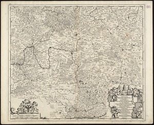
Circulus Franconius, in quo sunt episcopatus Wurtzburg, Bamberg et Aichstet : Status equitum Teutonicor ducatus Coburgensis :...
2322.
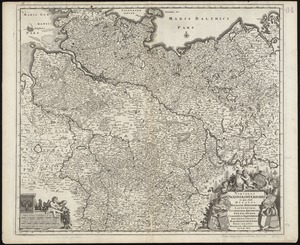
Circulus Saxoniae inferioris in quo sunt ducatus Holsatiae, Mecklenburgi, Lauwenburgi, Luneburgi, Brunsuigi, Bremae et Ferdae,...
2323.
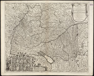
Circulus Suevicus in quo sunt Ducatus Wirtenbergensis, Marchionatus Badensis & Burgoviensis, Comitatus Otting, Rechberg,...
2324.
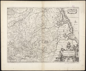
Circulus Westphalicus, sive Germaniae inferioris
2325.
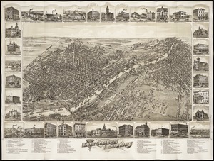
Cities of East Saginaw and Saginaw, Michigan, 1885
2326.
Citizens & travelers guide map in, to and from the city of New York and adjacent places
2327.
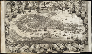
Citta di Venezia
2328.
City atlas of Boston, Massachusetts : complete in one volume : from official records, private plans and actual surveys
2329.
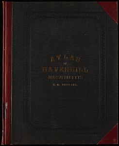
City atlas of Haverhill, Massachusetts
2330.
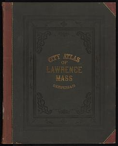
City atlas of Lawrence, Massachusetts
2331.
City atlas of Lawrence, Massachusetts : from official records, private plans and actual surveys, based upon plans deposited in...
2332.
City atlas of Lowell, Massachusetts
2333.
City atlas of Lynn, Massachusetts : from official records, private plans and actual surveys
2334.
City of Berlin
2335.
The city of Binghamton, Broome Co., N.Y : as extended May 19th, 1908
2336.
The city of Boston : 1879
2337.
City of Boston
2338.
City of Boston : topographic and planimetric survey
2339.
The City of Boston : 1879
2340.
The City of Boston : 1879
‹ Prev
Next ›
1
2
…
113
114
115
116
117
118
119
120
121
…
678
679