Toggle navigation
LMEC Home
Exhibitions
Georeferencing
Tools for Teachers
Collections
My Favorites
Sign Up / Log In
Search
Search the map portal
Map Collection
Map Collection
Map Sets
Search
Search
Search for
Search In
All Fields
Creator
Title
Subject
Place
Search All Digital Collections
Advanced Search
13680 Results
Filter your Search
Place
North and Central America
10,344
United States
8,475
Massachusetts
2,789
Suffolk (county)
1,677
Boston
1,633
Europe
1,415
Canada
950
New York
649
more
Place
»
Topic
Boston (Mass.)--Maps
747
City planning--Massachusetts--Boston--Maps
418
United States--History--Revolution, 1775-1783--Maps
329
United States--Maps
322
Real property--Massachusetts--Boston--Maps
254
Urban renewal--Massachusetts--Boston--Maps
254
Massachusetts--Maps
231
Insurance surveys
197
more
Topic
»
Date
Date range begin
–
Date range end
Current results range from
1482
to
2023
View distribution
Creator
United States. Hydrographic Office
597
Boston Redevelopment Authority
404
Des Barres, Joseph F. W. (Joseph Frederick Wallet), 1722-1824
247
Royal United Services Institute for Defence and Security Studies
160
Jefferys, Thomas, -1771
154
George, III, King of Great Britain, 1738-1820
152
George, IV, King of Great Britain, 1762-1830
151
O.H. Bailey & Co
148
more
Creator
»
Format
Maps/Atlases
13,499
Manuscripts
985
Prints
102
Books
49
Drawings/Illustrations
44
Photographs
15
Objects/Artifacts
13
Documents
7
more
Format
»
Georeferenced
Yes
979
No
12,701
Collection
Norman B. Leventhal Map & Education Center Collection
9,096
American Revolutionary War-Era Maps
3,305
Boston and New England Maps
2,915
Urban Maps
2,471
Maritime Charts and Atlases
1,169
William L. Clements Library Collection
910
Library of Congress Collection
618
Boston Redevelopment Authority Collection
475
more
Collection
»
Available to use
No known restrictions
10,246
Creative Commons license
1,678
Search Constraints
Sort by relevance
relevance
title
date (asc)
date (desc)
Number of results to display per page
20 per page
10
per page
20
per page
50
per page
100
per page
View results as:
grid view
map view
Search Results
7181.
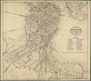
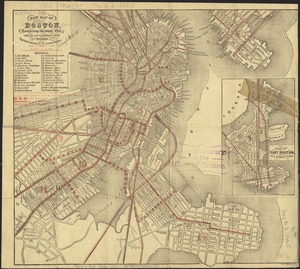
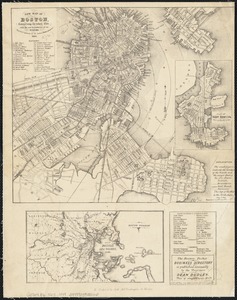
New map of Boston, comprising the whole city, with the new boundaries of the wards
7182.
New map of Boston, comprising the whole city, with the new boundaries of the wards
7183.
New map of Boston, comprising the whole city, with the new boundaries of the wards
7184.
New map of Boston, comprising the whole city, with the new boundaries of the wards
7185.
New map of Boston, comprising the whole city, with the new boundaries of the wards
7186.
New map of Boston, comprising the whole city, with the new boundaries of the wards
7187.
New map of Boston, comprising the whole city, with the new boundaries of the wards
7188.
New map of Boston, comprising the whole city, with the new boundaries of the wards
7189.
New map of Boston, comprising the whole city, with the new boundaries of the wards
7190.
New map of Boston, comprising the whole city, with the new boundaries of the wards
7191.
New map of Boston, comprising the whole city, with the new boundaries of the wards
7192.
New map of Boston, comprising the whole city with the new boundariess of the wards
7193.
New map of Boston from latest surveys
7194.
New map of Boston giving all points of interest : with every railway & steamboat terminus, prominent hotels, theatres & public...
7195.
New map of Boston giving all points of interest : with every railway & steamboat terminus, prominent hotels, theatres & public...
7196.
New map of Boston giving all points of interest : with every railway & steamboat terminus, prominent hotels, theatres & public...
7197.
A new map of Canada, also the north parts of New England and New York; with Nova Scotia and Newfound Land
7198.
A new map of Carolina
7199.
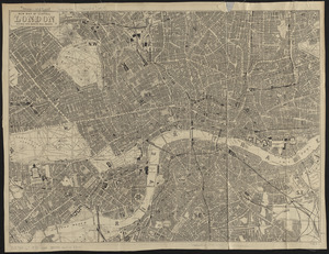
New map of central London divided into quarter mile squares
7200.
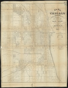
New map of Chicago : comprising the whole city, taken from Lowe's map, with all the recent additions, subdivisions & extensions
‹ Prev
Next ›
1
2
…
356
357
358
359
360
361
362
363
364
…
683
684