Toggle navigation
LMEC Home
Exhibitions
Georeferencing
Tools for Teachers
Collections
My Favorites
Sign Up / Log In
Search
Search the map portal
Map Collection
Map Collection
Map Sets
Search
Search
Search for
Search In
All Fields
Creator
Title
Subject
Place
Search All Digital Collections
Advanced Search
2532 Results
My Search
Start Over
boston atlas
Remove constraint boston atlas
Filter your Search
Place
North and Central America
1,383
United States
842
Europe
464
Massachusetts
355
South America
191
Asia
190
Canada
187
Suffolk (county)
162
more
Place
»
Topic
Landowners--Massachusetts--Boston--Maps
115
Real property--Massachusetts--Boston--Maps
106
United States--Maps
85
Boston (Mass.)--Maps
64
Nautical charts--Early works to 1800
39
Buildings--Massachusetts--Boston--Maps
34
Elections--United States--Maps
34
Nova Scotia--Maps--Early works to 1800
33
more
Topic
»
Date
Date range begin
–
Date range end
Current results range from
1482
to
2023
View distribution
Creator
United States. Hydrographic Office
584
Des Barres, Joseph F. W. (Joseph Frederick Wallet), 1722-1824
116
Ptolemy, 2nd cent
100
Bromley, George Washington
86
Bromley, Walter Scott
84
Carey, Mathew, 1760-1839
72
Paullin, Charles Oscar, 1868 or 1869-1944
70
United States Exploring Expedition (1838-1842)
70
more
Creator
»
Format
Maps/Atlases
2,523
Books
34
Manuscripts
13
Prints
8
Drawings/Illustrations
1
Georeferenced
Yes
133
No
2,399
Collection
Norman B. Leventhal Map & Education Center Collection
2,431
Maritime Charts and Atlases
1,131
Boston and New England Maps
386
American Revolutionary War-Era Maps
285
Urban Maps
271
Massachusetts Real Estate Atlases
72
Mapping Boston Collection
61
Applied Geographics, Inc. Records
23
more
Collection
»
Available to use
No known restrictions
2,298
Creative Commons license
73
Search Constraints
Sort by relevance
relevance
title
date (asc)
date (desc)
Number of results to display per page
20 per page
10
per page
20
per page
50
per page
100
per page
View results as:
grid view
map view
Search Results
2101.
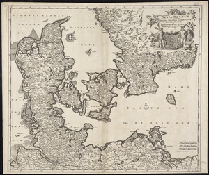
Dania regnum in quo sunt Ducatus Holsatia et Slesvicum Insulae Danicae et Provinciae Iutia, Scania, Blekingia et Hallandia
2102.
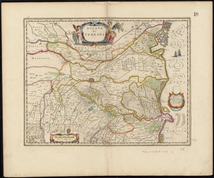
Ducato di Ferrara
2103.
The empire of Germany with the 13 cantons of Switzerland from the best authorities
2104.
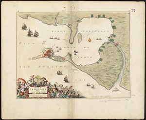
Insula Gaditana, vulgo Isla de Cadiz
2105.
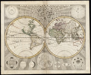
A new mapp of the world
2106.
Noordt Hollandt
2107.
North America divided into its III principall parts : 1st English part viz. English Empire containing ye Articklands near...
2108.
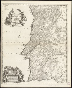
Novissima regnorum Portugalliae et Algarbiae descriptio
2109.
Picardia
2110.
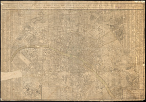
Plan géométral de Paris et de ses fauxbourgs
2111.
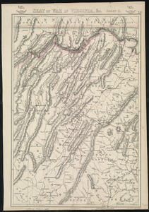
Seat of war in Virginia, &c
2112.
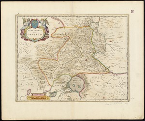
Territorio di Orvieto
2113.
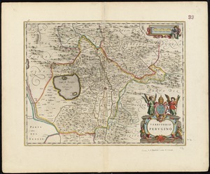
Territorio Perugino
2114.
Topographic & detail sheets of Rainy Lake & upper boundary waters
2115.
Viennense territorium ob res bellicas inter Christianos et Turcas nuperrime editum
2116.
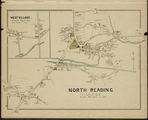
North Reading Village
2117.
Danubius, fluvius Europae maximus, a fontibus ad ostia, cum omnibus fluminibus, ab utroque latere, in illum defluentibus
2118.
Americae nova descriptio
2119.
Americae pars meridionalis
2120.
Bavariae pars inferior cum insertis et adjacentibus regionibus non solum in ejusdem ditiones generales sed etiam in earundem...
‹ Prev
Next ›
1
2
…
102
103
104
105
106
107
108
109
110
…
126
127