Toggle navigation
LMEC Home
Exhibitions
Georeferencing
Tools for Teachers
Collections
My Favorites
Sign Up / Log In
Search
Search the map portal
Map Collection
Map Collection
Map Sets
Search
Search
Search for
Search In
All Fields
Creator
Title
Subject
Place
Search All Digital Collections
Advanced Search
13603 Results
Filter your Search
Place
North and Central America
10,269
United States
8,400
Massachusetts
2,784
Suffolk (county)
1,677
Boston
1,633
Europe
1,413
Canada
950
New York
646
more
Place
»
Topic
Boston (Mass.)--Maps
747
City planning--Massachusetts--Boston--Maps
418
United States--History--Revolution, 1775-1783--Maps
329
United States--Maps
321
Real property--Massachusetts--Boston--Maps
254
Urban renewal--Massachusetts--Boston--Maps
254
Massachusetts--Maps
231
Insurance surveys
197
more
Topic
»
Date
Date range begin
–
Date range end
Current results range from
1482
to
2023
View distribution
Creator
United States. Hydrographic Office
597
Boston Redevelopment Authority
404
Des Barres, Joseph F. W. (Joseph Frederick Wallet), 1722-1824
247
Royal United Services Institute for Defence and Security Studies
160
Jefferys, Thomas, -1771
154
George, III, King of Great Britain, 1738-1820
152
George, IV, King of Great Britain, 1762-1830
151
O.H. Bailey & Co
148
more
Creator
»
Format
Maps/Atlases
13,422
Manuscripts
985
Prints
102
Books
49
Drawings/Illustrations
44
Photographs
15
Objects/Artifacts
13
Documents
7
more
Format
»
Georeferenced
Yes
979
No
12,624
Collection
Norman B. Leventhal Map & Education Center Collection
9,088
American Revolutionary War-Era Maps
3,305
Boston and New England Maps
2,906
Urban Maps
2,465
Maritime Charts and Atlases
1,169
William L. Clements Library Collection
910
Library of Congress Collection
618
Boston Redevelopment Authority Collection
475
more
Collection
»
Available to use
No known restrictions
10,170
Creative Commons license
1,677
Search Constraints
Sort by relevance
relevance
title
date (asc)
date (desc)
Number of results to display per page
20 per page
10
per page
20
per page
50
per page
100
per page
View results as:
grid view
map view
Search Results
301.
Americae nova tabula
302.
Americae nova tabula
303.
Americae pars Borealis, Florida, Baccalaos, Canada, Corterealis
304.
Americae pars meridionalis
305.
Americae pars meridionalis
306.
Americae pars meridionalis
307.
Americæ pars, nunc Virginia dicta, primum ab Anglis inuenta, sumtibus Dn. Walteri Raleigh, equestris ordinis Viri, Anno Dn̄i....
308.
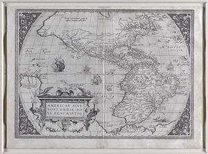
Americae siue noui orbis, noua descriptio
309.
Americae siue noui orbis, noua descriptio
310.
Americae siue noui orbis, noua descriptio
311.
Americae siue noui orbis, noua descriptio
312.
Americae siue noui orbis, noua descriptio
313.
Americae sive Indiae Occidentalis : tabula generalis
314.
Americae sive novi orbis, nova descriptio.
315.
Americae tam septentrionalis quam meridionalis in mappa geographica delineatio
316.
The American Atlas or, A Geographical Description of the whole continent of America : wherein are delineated at large, its...
317.
American camp at Valley Forge
318.
American explorations in the West, 1803-1852
319.
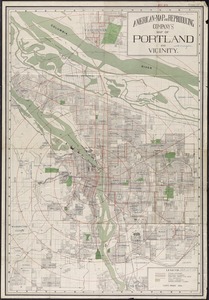
American Map and Reproducing Company's map of Portland and vicinity
320.
The American pilot : containing the navigation of the sea coat of North America . . .
‹ Prev
Next ›
1
2
…
12
13
14
15
16
17
18
19
20
…
680
681