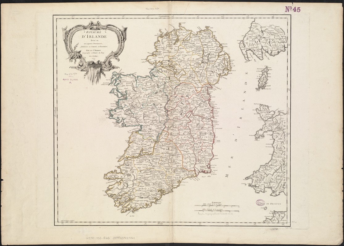
Royaume d'Irlande : divisé en ses quatre provinces et subdivisé en comtés
Item Information
- Title:
- Royaume d'Irlande : divisé en ses quatre provinces et subdivisé en comtés
- Creator:
- Robert de Vaugondy, Gilles, 1688-1766
- Name on Item:
-
par le Sr. Robert, Géographe ordinaire du Roy, avec privilege ; Guill. Delahaye, sculpsit.
- Date:
-
1750
- Format:
-
Maps/Atlases
- Location:
-
Boston Public Library
Norman B. Leventhal Map & Education Center - Collection (local):
-
Norman B. Leventhal Map & Education Center Collection
- Subjects:
-
Ireland--Maps--Early works to 1800
- Places:
-
Ireland
- Extent:
- 1 map : hand col. ; 47 x 53 cm.
- Terms of Use:
-
No known copyright restrictions.
No known restrictions on use.
- Publisher:
-
S.l :
[s.n.]
- Scale:
-
Scale [ca. 1:1,080,000]
- Language:
-
French
- Notes:
-
Relief shown pictorially.
Ornamental cartouche.
Appears in the author's Atlas Universel. Paris : chez les auteurs, quay de l'Horloge du Palais, Boudet libraire imprimeur du roi, ruë St. Jacques, 1757
- Identifier:
-
06_01_007052
- Call #:
-
G5780 1750 .R63
- Barcode:
-
39999059029361


