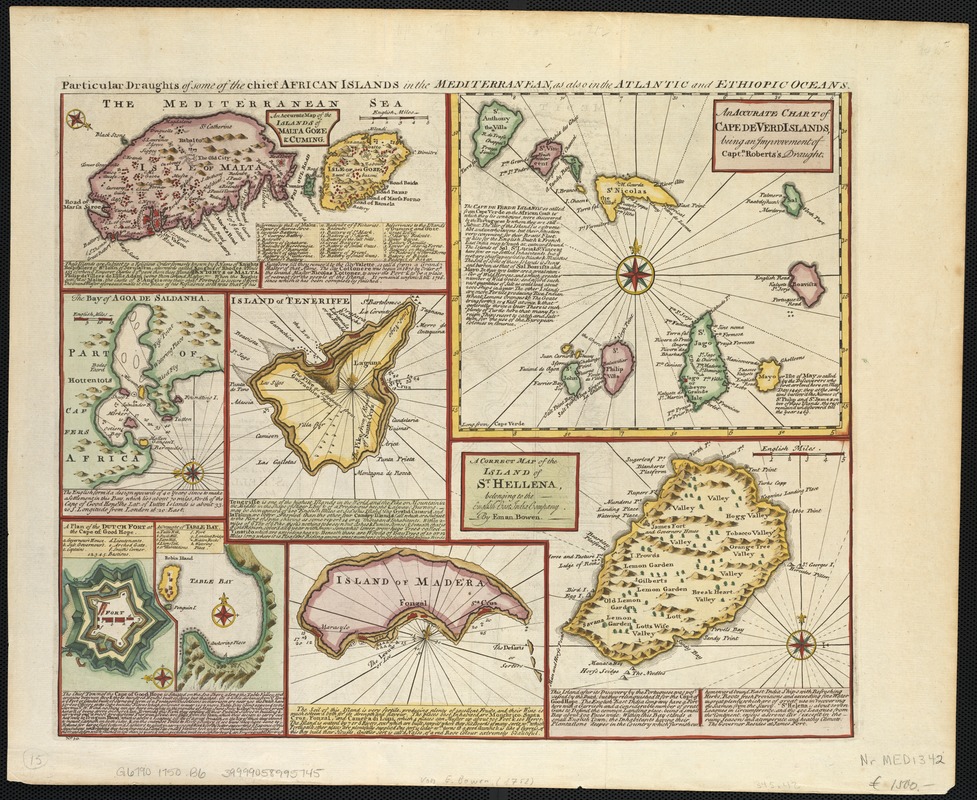
Particular draughts of some of the chief African Islands in the Mediterranean : as also in the Atlantic and Ethiopic Oceans
Item Information
- Title:
- Particular draughts of some of the chief African Islands in the Mediterranean : as also in the Atlantic and Ethiopic Oceans
- Creator:
- Bowen, Emanuel, d. 1767
- Date:
-
[ca. 1750]
- Format:
-
Maps/Atlases
- Location:
-
Boston Public Library
Norman B. Leventhal Map & Education Center - Collection (local):
-
Norman B. Leventhal Map & Education Center Collection
- Subjects:
-
Malta--Maps--Early works to 1800
Cape Verde--Maps--Early works to 1800
Madeira (Madeira Islands)--Maps--Early works to 1800
Saint Helena--Maps--Early works to 1800
Tenerife (Canary Islands)--Maps--Early works to 1800
- Places:
-
Cape Verde
SpainCanary Islands (region)Santa Cruz de Tenerife (province)Tenerife (island)
Saint Helena, Ascension and Tristan da Cunha (territory)Saint Helena (island)
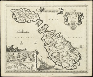
Malta
PortugalMadeira (region)Madeira, Ilha da (island)
- Extent:
- 8 maps on 1 sheet ; sheet 35 x 43 cm.
- Terms of Use:
-
No known copyright restrictions.
No known restrictions on use.
- Publisher:
-
London :
s.n.
- Scale:
-
Scales differ.
- Language:
-
English
- Notes:
-
Maps: "An accurate map of the islands of Malta Goze & Cuming" ; "An accurate chart of Cape de Verd Islands, being an improvement of Capt. Roberts's draught" ; "A correct map of the island of St. Hellena, belonging to the English East India Company" ; Island of Madera ; "A draught of Table Bay" ; "A plan of the Dutch fort at the Cape of Good Hope" ; "The Bay of Agoa de Saldanha" and "Island of Teneriffe."
Numbered "N⁰50."
Notes about the islands.
Relief shown pictorially.
Depth shown by soundings.
Cape Verde Islands longitude is measured from Cape Verde.
- Identifier:
-
06_01_002578
- Call #:
-
G6790 1750 .B6
- Barcode:
-
39999058995745