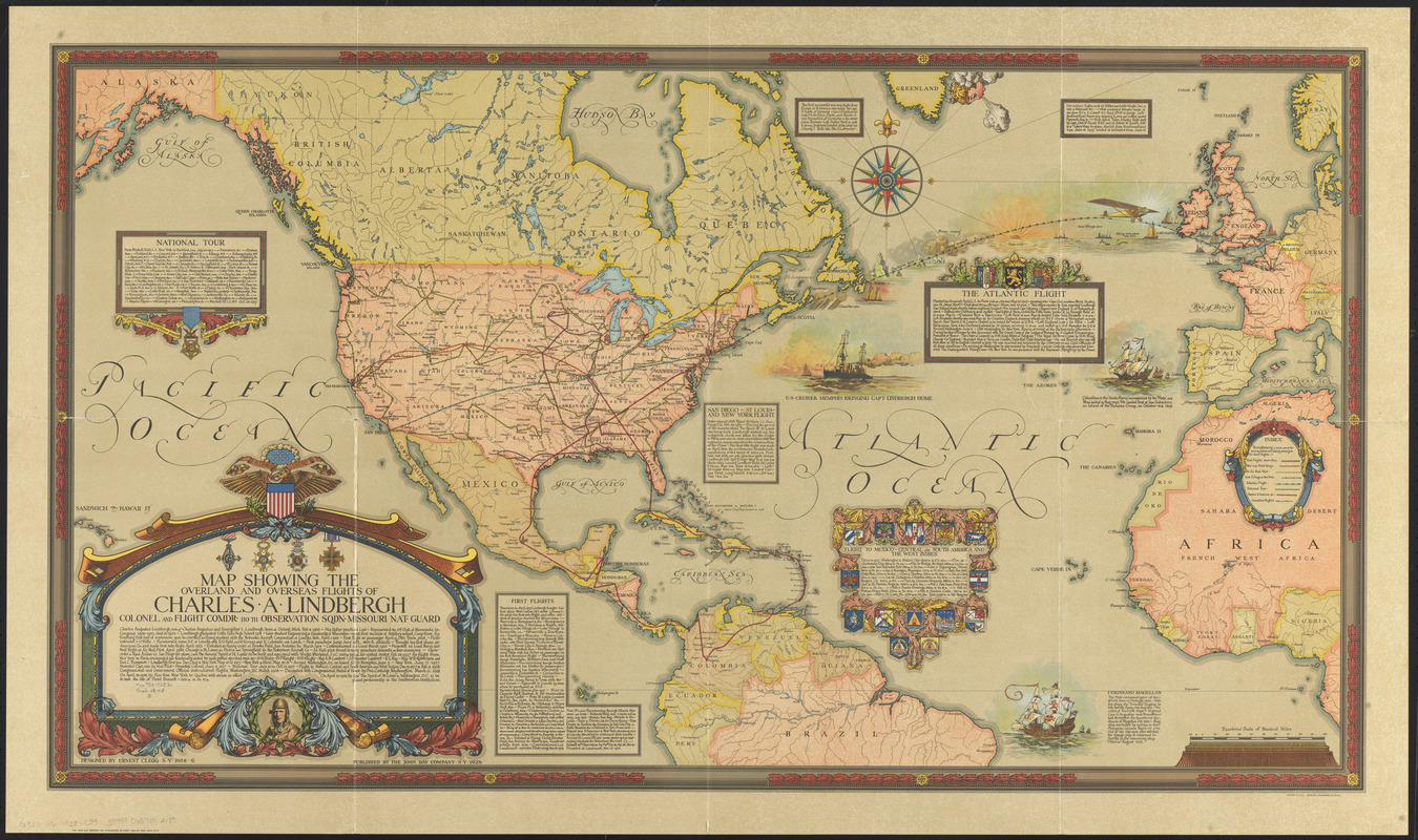
Map showing the overland and overseas flights of Charles A. Lindbergh
Item Information
- Title:
- Map showing the overland and overseas flights of Charles A. Lindbergh
- Creator:
- Clegg, Ernest
- Name on Item:
-
designed by Ernest Clegg
- Date:
-
1928
- Format:
-
Maps/Atlases
- Location:
-
Boston Public Library
Norman B. Leventhal Map & Education Center - Collection (local):
-
Norman B. Leventhal Map & Education Center Collection
- Subjects:
-
Aeronautics--Northern Hemisphere--History--Maps
Transatlantic flights
Air pilots--United States--Biography
North America--Maps
Lindbergh, Charles A. (Charles Augustus), 1902-1974
- Places:
-
North and Central America
North America (area)
Atlantic Ocean
- Extent:
- 1 map : col. ; 62 x 113 cm., folded in envelope 32 x 38 cm.
- Terms of Use:
-
No known copyright restrictions.
No known restrictions on use.
- Publisher:
-
New York :
John Day Co.
- Scale:
-
Scale [ca. 1:17,000,000] at equator
- Language:
-
English
- Notes:
-
Includes text and col. ill.
- Identifier:
-
06_01_014708
- Call #:
-
G3211.P6 1928 .C54
- Barcode:
-
39999065704189


