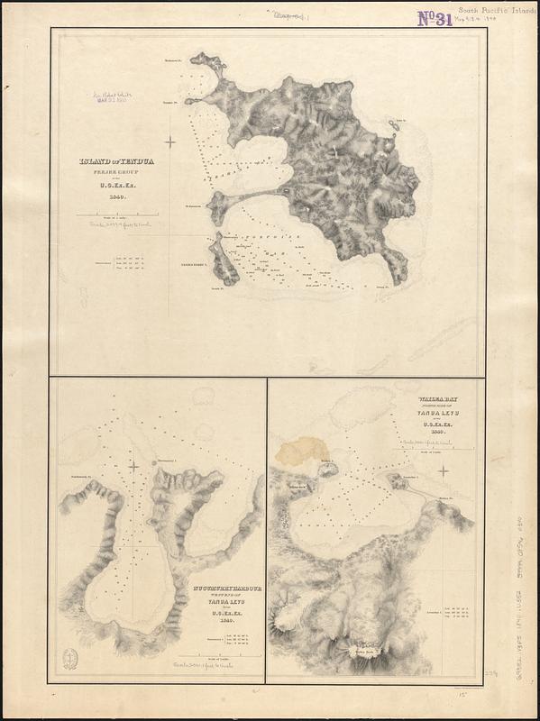
Island of Yendua, Feejee Group ; Nucumurry Harbour, west end of Vanua Levu ; Wailea Bay, north side of Vanua Levu
Item Information
- Title:
- Island of Yendua, Feejee Group ; Nucumurry Harbour, west end of Vanua Levu ; Wailea Bay, north side of Vanua Levu
- Contributor:
- Wilkes, Charles, 1798-1877
- Engraver:
- Sherman & Smith
- Cartographer:
- United States Exploring Expedition (1838-1842)
- Name on Item:
-
by U.S. Ex. Ex. 1840 ; eng. by Sherman & Smith
- Date:
-
[1840–1849]
- Format:
-
Maps/Atlases
- Genre:
-
Nautical charts
- Location:
-
Boston Public Library
Norman B. Leventhal Map & Education Center - Collection (local):
-
Norman B. Leventhal Map & Education Center Collection
- Subjects:
-
Yandua Island (Fiji)--Maps
Vanua Levu (Fiji)--Maps
Nautical charts--Fiji--Vanua Levu
Nautical charts--Fiji--Yandua Island
- Places:
-
FijiBua (province)Yadua Island (island)
FijiNadroga and Navosa (province)Vanua Levu Island (island)
- Extent:
- 3 maps on 1 sheet ; 59 x 39 cm
- Terms of Use:
-
No known copyright restrictions.
No known restrictions on use.
- Scale:
-
Scale approximately 1:24,500
Scale approximately 1:24,700
Scale approximately 1:24,700
- Language:
-
English
- Table of Contents:
-
Island of Yendua
Nucumurry Harbour
Wailea Bay
- Notes:
-
Relief shown by hachures. Depths shown by soundings and pictorially.
Published in Narrative of the United States Exploring Expedition : during the years 1838, 1839, 1840, 1841, 1842.
- Notes (date):
-
This date is inferred.
- Identifier:
-
06_01_017522
- Call #:
-
G9382.V3P5 1840 .U552
- Barcode:
-
39999085960340


