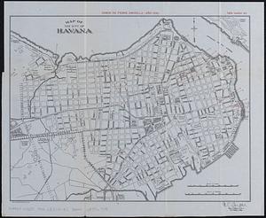
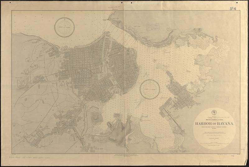
West Indies, Cuba, harbor of Havana : from the most recent Spanish surveys to 1879
Item Information
- Title:
- West Indies, Cuba, harbor of Havana : from the most recent Spanish surveys to 1879
- Issuing body:
- United States. Hydrographic Office
- Date:
-
1888
- Format:
-
Maps/Atlases
- Genre:
-
Nautical charts
- Location:
-
Boston Public Library
Norman B. Leventhal Map & Education Center - Collection (local):
-
Norman B. Leventhal Map & Education Center Collection
- Subjects:
-
Havana (Cuba)--Maps
Harbors--Cuba--Havana--Maps
Nautical charts--Cuba--Havana
- Places:
-
CubaHavana (province)Havana
- Extent:
- 1 map ; 62 x 99 cm
- Terms of Use:
-
No known copyright restrictions.
No known restrictions on use.
- Publisher:
-
Washington, D.C. :
Hydrographic Office
- Edition:
- Edition of July 1888
- Scale:
-
Scale approximately 1:7,900
- Language:
-
English
- Notes:
-
Relief shown by hachures. Depths shown by soundings and isolines.
- Identifier:
-
06_01_017105
- Call #:
-
G9096.P5 svar .U55 no. 307 1888
- Barcode:
-
39999085954582