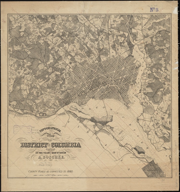
Topographical map of the District of Columbia
Item Information
- Title:
- Topographical map of the District of Columbia
- Creator:
- Boschke, A.
- Name on Item:
-
surveyed in the years 1856, '57, '58 & '59 by A. Boschke.
- Date:
-
[1880?]
- Format:
-
Maps/Atlases
- Location:
-
Boston Public Library
Norman B. Leventhal Map & Education Center - Collection (local):
-
Norman B. Leventhal Map & Education Center Collection
- Subjects:
-
Washington (D.C.)--Maps
- Places:
-
District of ColumbiaWashington
- Extent:
- 1 map ; 51 x 51 cm.
- Terms of Use:
-
No known copyright restrictions.
No known restrictions on use.
- Publisher:
-
Washington? :
s.n.
- Edition:
- County roads as corr. to 1880.
- Scale:
-
Scale [1:31,680]. 2 in. to 1 mile
- Language:
-
English
- Notes:
-
Partial cadastral map showing some landowners' names in rural areas.
Relief shown by contours. Depths shown by contours and soundings.
Oriented with north toward the upper left.
- Identifier:
-
06_01_010832
- Call #:
-
G3850 1880 .B67
- Barcode:
-
39999065678425
- LCCN:
-
88693460


