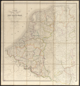
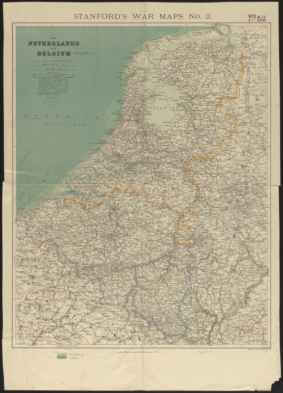
The Netherlands and Belgium
Item Information
- Title:
- The Netherlands and Belgium
- Title (alt.):
-
Stanford's war maps no. 2
- Cartographer:
- Edward Stanford Ltd.
- Publisher:
- Edward Stanford Ltd.
- Date:
-
1914
- Format:
-
Maps/Atlases
- Location:
-
Boston Public Library
Norman B. Leventhal Map & Education Center - Collection (local):
-
Norman B. Leventhal Map & Education Center Collection
- Subjects:
-
Benelux countries--Maps
Netherlands--Maps
Belgium--Maps
- Places:
-
Netherlands
Belgium
- Extent:
- 1 map : color ; 62 x 49 cm
- Terms of Use:
-
No known copyright restrictions.
No known restrictions on use.
- Publisher:
-
London :
Edward Stanford
- Scale:
-
Scale 1:760,320. 12 English miles to 1 inch
- Language:
-
English
- Notes:
-
Relief shown by hachures. Depths shown by bathymetric tints.
- Identifier:
-
06_01_015140
- Call #:
-
G5990 1914 .E39
- Barcode:
-
39999085932265