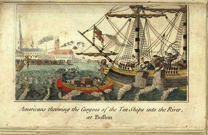
Essential Question: How can maps help us better understand the events of the Boston Tea Party?
On December 16, 1773, American colonists dumped 342 chests of British tea into Boston Harbor. The event was pivotal in the lead-up to the American Revolutionary War. It was the American Colonists' boldest attempt to protest the taxes Great Britain had imposed upon them. More importantly, the event helped rally the other colonies to fight for independence. It is agreed that the event happened at a place called Griffin's Wharf.
Several historical maps provide information about the names of places involved in the Tea Party (Faneuil Hall, Old South Meeting House, Griffin's Wharf) and help to confirm their location in 1773. Students can retrace the steps of the Bostonians as they actively protested British taxation and eventually dumped the tea in defiance.
Historical maps of Boston provide visual references to actual buildings and streets where the Boston Tea party took place. Exploring these primary source maps will give students the opportunity to gain real-world connections to the event.
For a short history on the Boston Tea Party, visit the Old South Meeting House website.
This map set was created by Dan Donoff, Instructional Technology Specialist, Burlington, MA.
How to use this map set:
Click on the maps to view and zoom on the Leventhal Map & Education Center's website. Full bibliographic information for the maps is available there or in the citations list at the end of the map set.
Cover Image: Engraving by E. Newberry, 1789. New York Public Library.
Cover Image: Engraving by E. Newberry, 1789. New York Public Library.


![A new plan of ye great town of Boston in New England in America, with the many additionall [sic] buildings, & new streets, to the year, 1769](https://bpldcassets.blob.core.windows.net/derivatives/images/commonwealth:3f462v50z/image_thumbnail_300.jpg)
