Native People and Settler Colonialism
Information
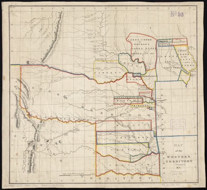
This lesson contains two sections that can stand alone or that can be taught together in order. Part One introduces students to an 1837 map created by members of the Báxoje/Ioway tribal community and asks them to compare it with one made in 1902 by a Euro-American cartographer to discuss the meaning of land and how it is understood and visualized by both. Students end the lesson looking at a map of reservations and “Indian” boarding schools from 1892 and considering the legacy of land dispossession and cultural genocide. Part Two has students working in small groups with a series of 19th century Euro-American maps to answer questions that uncover how Native communities are portrayed and represented on the land. Either section concludes with a discussion about how some Native communities visualize their presence and relationship to the land through mapping today. Special thanks to Akomawt Educational Initiative for consulting with Map Center staff for this lesson.
- Material Type:
- Lesson Plan
- Grade Level:
- 3, 4, 5, 6, 7, 8, 9, 10, 11, 12
- Subjects:
- Geography
- Location:
- What came to be known as the United States
- Time Period:
- 1800 - present